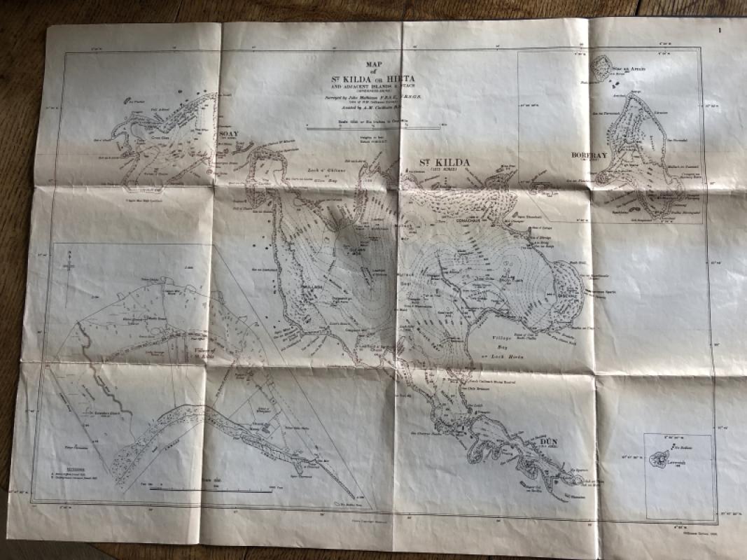
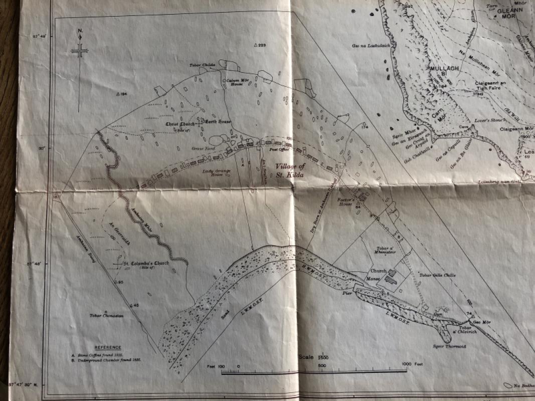
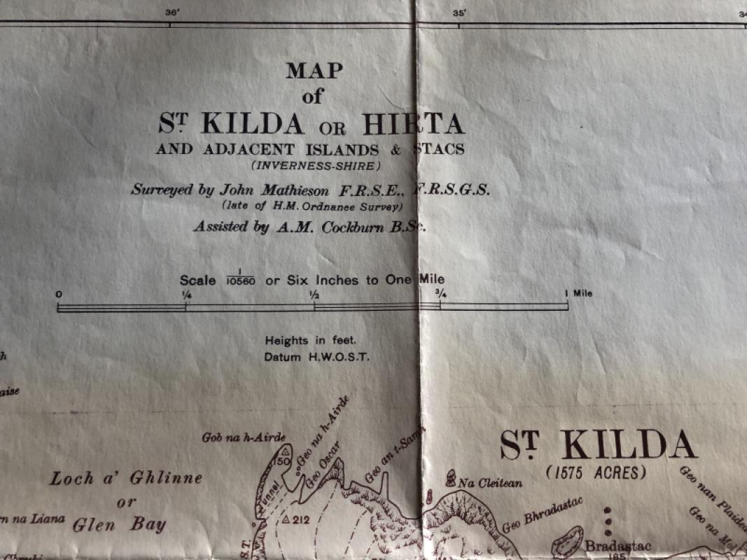
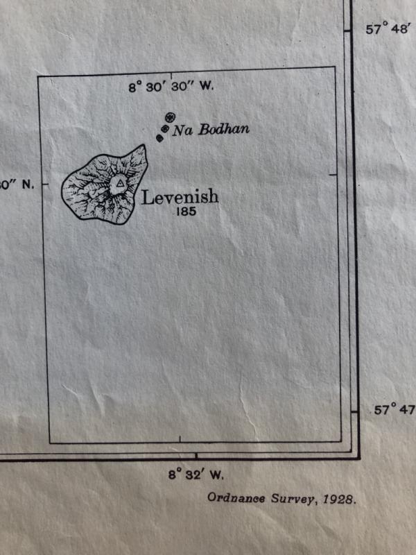
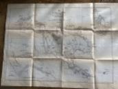
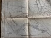
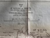
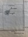
ORDNANCE SURVEY MAP OF ST KILDA OR HIRTA AND ADJACENT ISLANDS AND STACS 1928


Book Description
Other books
If you liked the book you've just seen, you might be interested in other books from the same dealer below.
UTAMARO - PORTRAITS IN THE JAPANESE WOODCUT
Lubor Hajek
Spring Books
£30.00
Offered by Geoff Cox Books

THE EMETT FESTIVAL RAILWAY - A Puffin Cut-Out Book...
Rowland Emett & Victor Keeling
Puffin Picture Books (Penguin)
£95.00
Offered by Geoff Cox Books
The Biology of Dragonflies
R J Tillyard
Cambridge University Press
£80.00
Offered by Geoff Cox Books
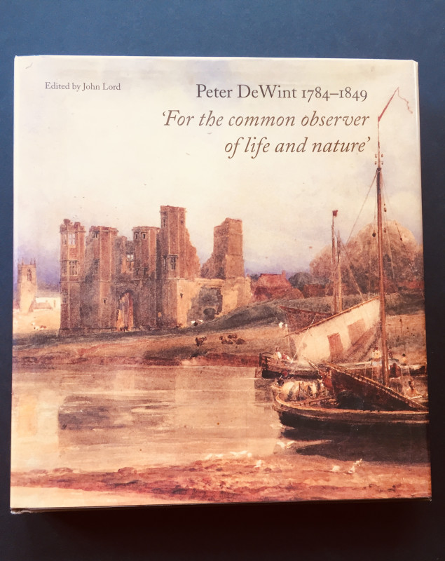
PETER DE WINT 1784-1849 'FOR THE COMMON OBSERVER O...
John Lord (editor)
Lund Humphries
£22.00
Offered by Geoff Cox Books
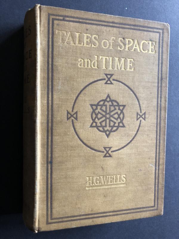
TALES OF SPACE AND TIME (First UK Edition)
H G Wells
Harper and Brothers
£175.00
Offered by Geoff Cox Books
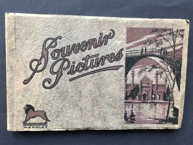
SOUVENIR PICTURES BRITISH EMPIRE EXHIBITION WEMBLE...
None Accredited
Fleetway Press
£30.00
Offered by Geoff Cox Books
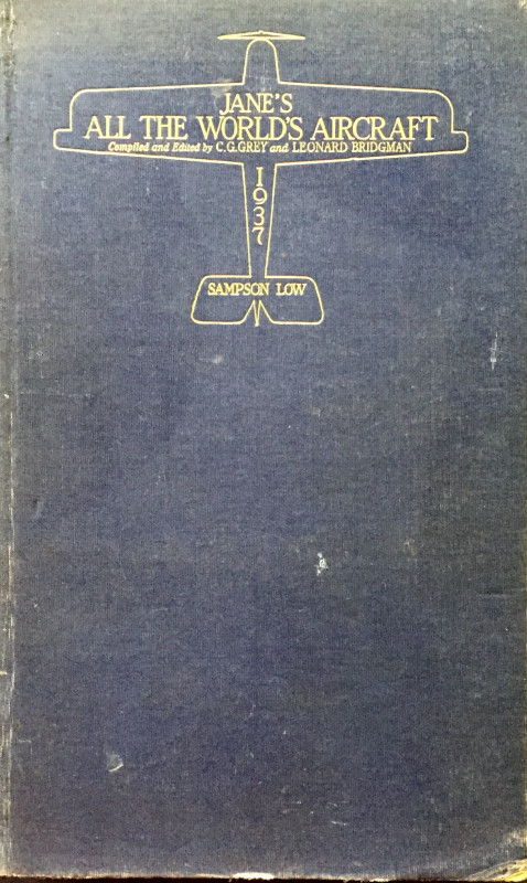
Jane's All the World's Aircraft 1937
C G Grey and L Bridgeman
Sampson Low, Marston & Co
£130.00
Offered by Geoff Cox Books
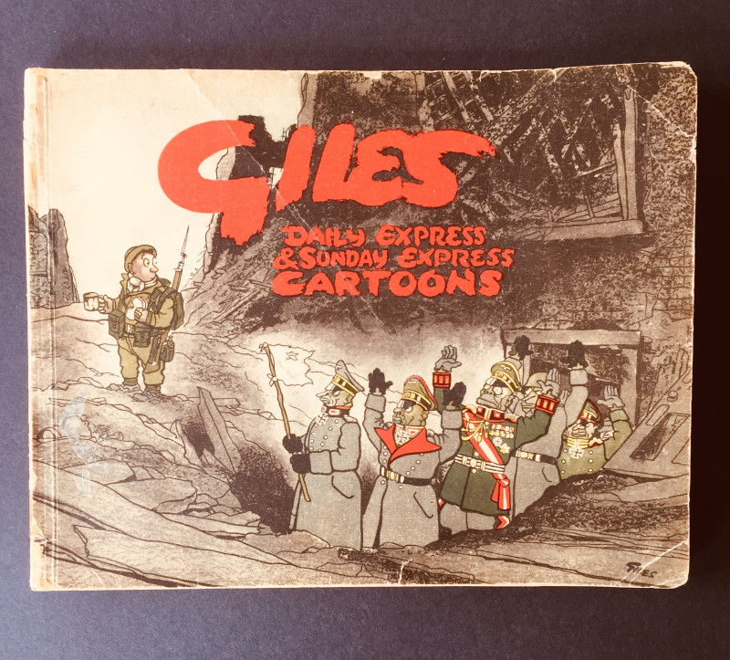
Daily Express & Sunday Express Cartoons (No.1 Firs...
GILES
Lane Publications
£95.00
Offered by Geoff Cox Books
Friends of the PBFA
Please email info@pbfa.org for more information