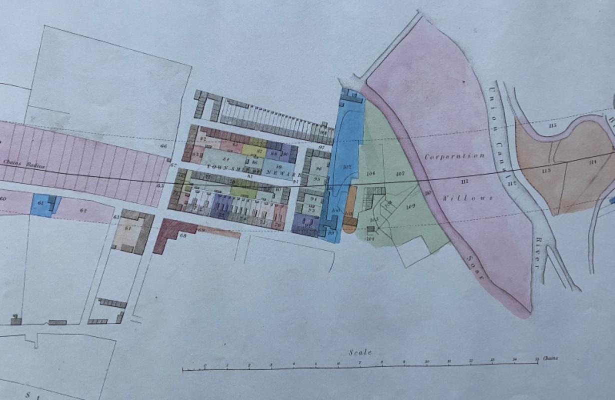
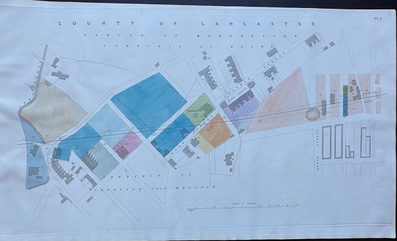
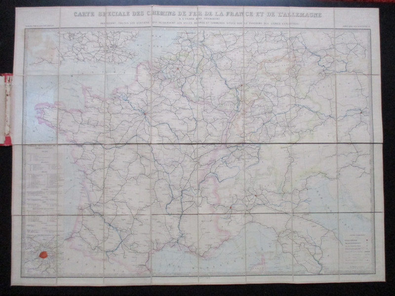
Map of Leicester, including the County House of Correction, Braunston Gate and Great Holme Street


Book Description
Map of Leicester, including the County House of Correction, Braunston Gate and Great Holme Street with the River Soar and the Great Union Canal, an enlarged plan on a scale of 2 chains to the inch or 42 inches to the mile. Size 73 by 43 cm. On good quality paper. One of a series of plans and sections for a London to Manchester Railway by Rennie, Rastrick and Remington printed and published by Arrowsmith 1845. Some hand colouring. A detailed map that is possibly on a larger scale than any Ordnance Survey map of the period. VG condition.
Author
Rennie
Date
1845
Publisher
Arrowsmith
Condition
VG
Other books
If you liked the book you've just seen, you might be interested in other books from the same dealer below.
Barbara Hepworth Drawings from a Sculptor’s Landsc...
Hepworth
Cory Adams and Mackay
£45.00
Offered by Arthur Hook
Nouveau Manual Complet du Terrassier et de l’Entre...
Etienne and Masson
Roret
£50.00
Offered by Arthur Hook
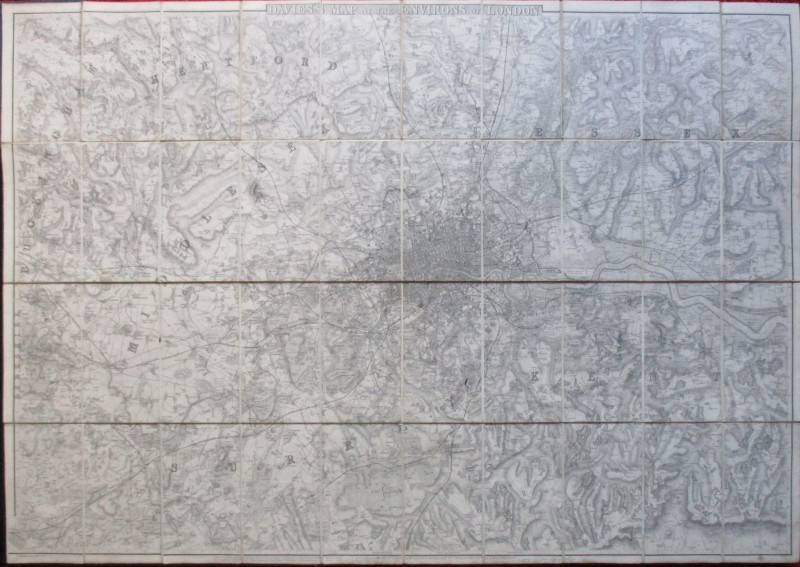
Enlarged plan of Central Manchester with the Penit...
Rennie
Arrowsmith
£70.00
Offered by Arthur Hook
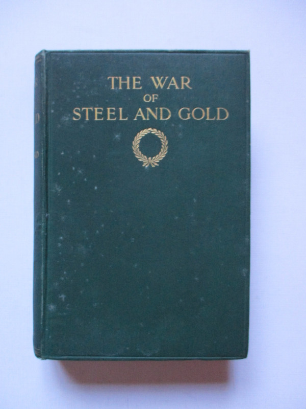
The War of Steel and Gold- Bertrand Russell Signed...
Brailsford
Bell
£450.00
Offered by Arthur Hook
Map of Scotland with a Plan of Edinburgh 1834
Baldwin and Cradock
Baldwin and Cradock
£275.00
Offered by Arthur Hook
Friends of the PBFA
For £10 get free entry to our fairs, updates from the PBFA and more.
Please email info@pbfa.org for more information