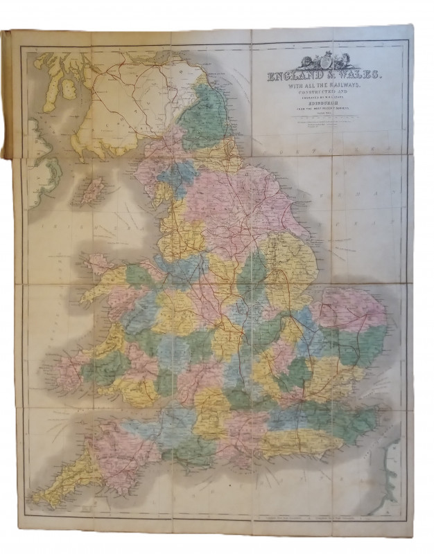
Map of England & Wales with all the Railways


Book Description
Other books
If you liked the book you've just seen, you might be interested in other books from the same dealer below.
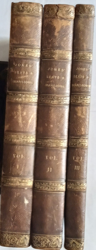
Jones' Views of the Seats, Mansions, Castles, &c....
Jones & Co:
Jones & Co, Temple of the Muses, Finsbury Square
£250.00
Offered by The Book House
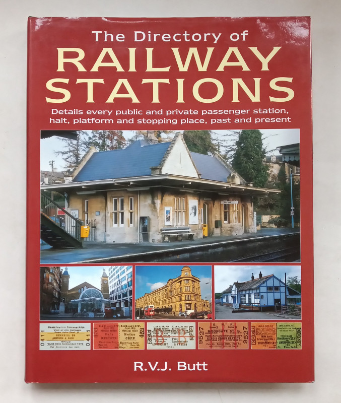
The Directory of Railway Stations.
R. V. J. Butt
Patrick Stephens Ltd.,
£45.00
Offered by The Book House
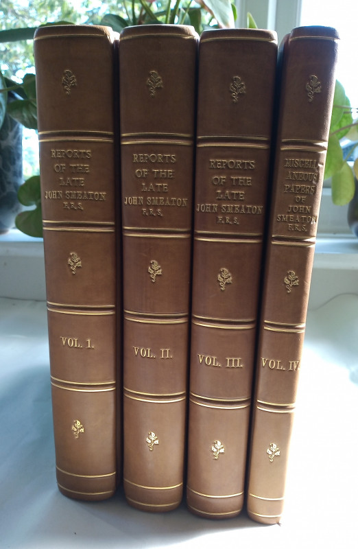
Reports of the Late John Smeaton, R. R. S., made o...
John Smeaton
Longmans
£1800.00
Offered by The Book House
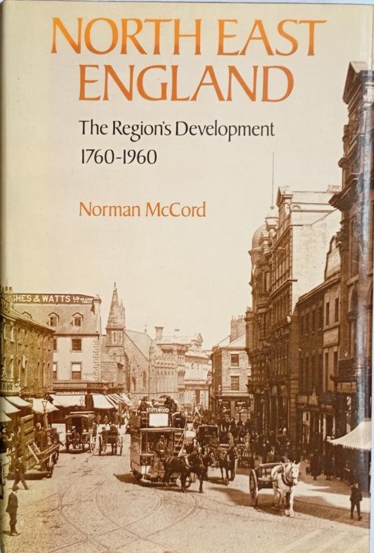
North East England - The Region's Development 1760...
Norman McCord
Batsford Academic
£15.00
Offered by The Book House
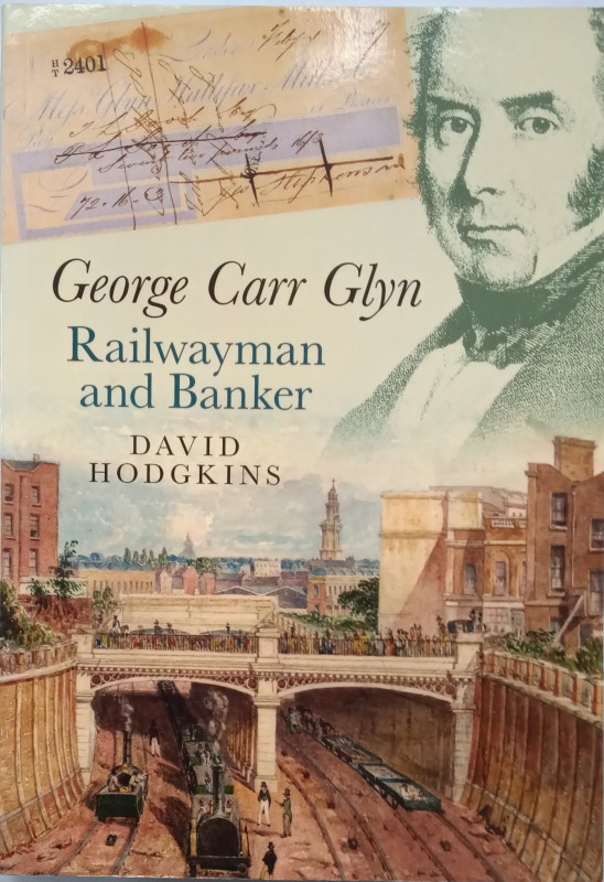
George Carr Glyn - Railwayman and Banker
Hodgkins, David:
Wolffe Press
£35.00
Offered by The Book House
Appleton's Hand-Book of American Travel - Northern...
D. Appleton and Company
D. Appleton and Company
£70.00
Offered by The Book House
Cakes and Ale or The Skeleton in the Cupboard
W. Somerset Maugham
Heinemann
£75.00
Offered by The Book House
English Medieval Industries
Blair, John & Ramsay, Nigel (Editors):
The Hambeldon Press
£35.00
Offered by The Book House
A History of Hinckley
Henry James Francis
W Pickering & Sons, Hinckley
£65.00
Offered by The Book House
Friends of the PBFA
Please email info@pbfa.org for more information