London Transport Underground Railway Map
Book Description
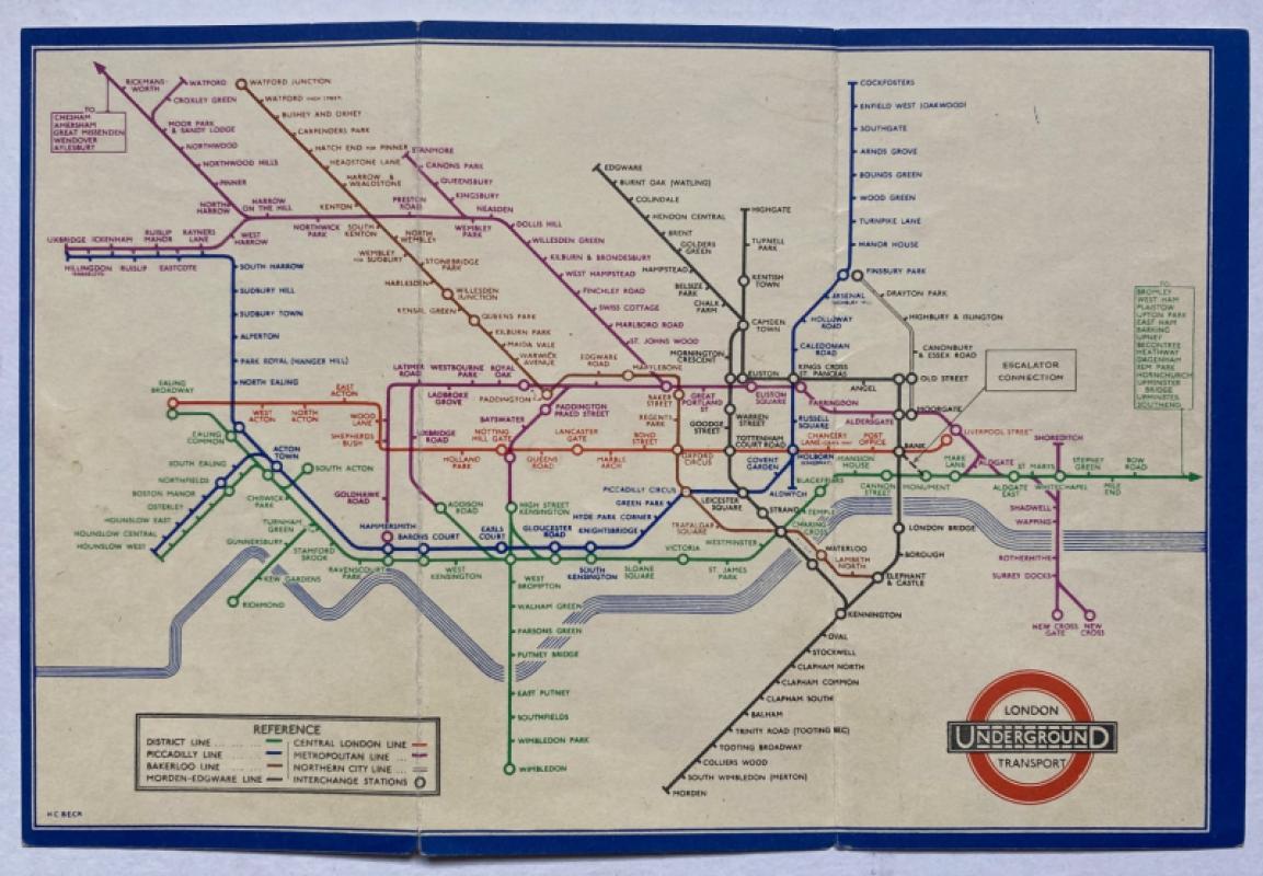
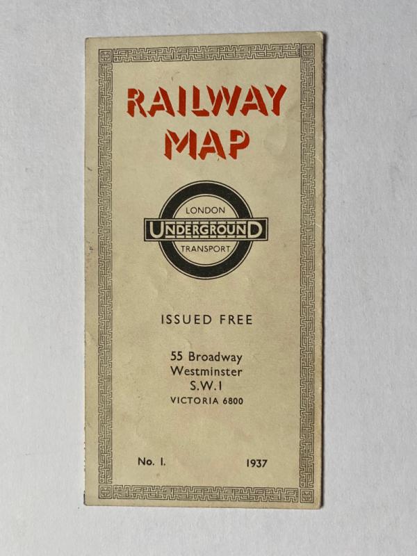
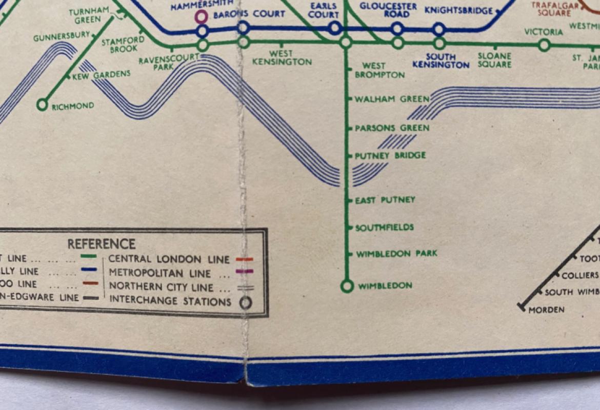
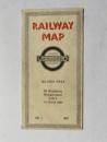
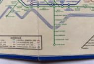
London Transport Underground Railway Map by H C Beck. Printed and published for London Transport by Johnson, Riddle and Company, London 1937. On folding card size 23 by 15 cm. when opened. A 1st edition of the Beck pocket map issued free by London Transport. A map of the tube network in colour to one side that includes a key to seven underground lines and interchange stations and an inset panel listing stations beyond Bow Road on the District Line. With a stylised map to the reverse showing the interchange stations in the central area with a colour coded key to the 7 lines and symbols showing interchange and main line stations. Minor nick to the base of one fold but overall VG condition.
Author
Beck
Date
1937
Publisher
London Transport
Illustrator
Beck
Condition
Good
Other books
If you liked the book you've just seen, you might be interested in other books from the same dealer below.
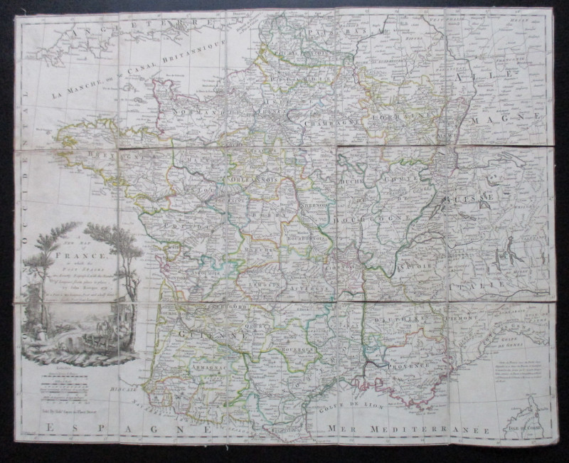
A New Map of France in which the Post Stages are E...
Rocque
Rocque and Sayer
£295.00
Offered by Arthur Hook
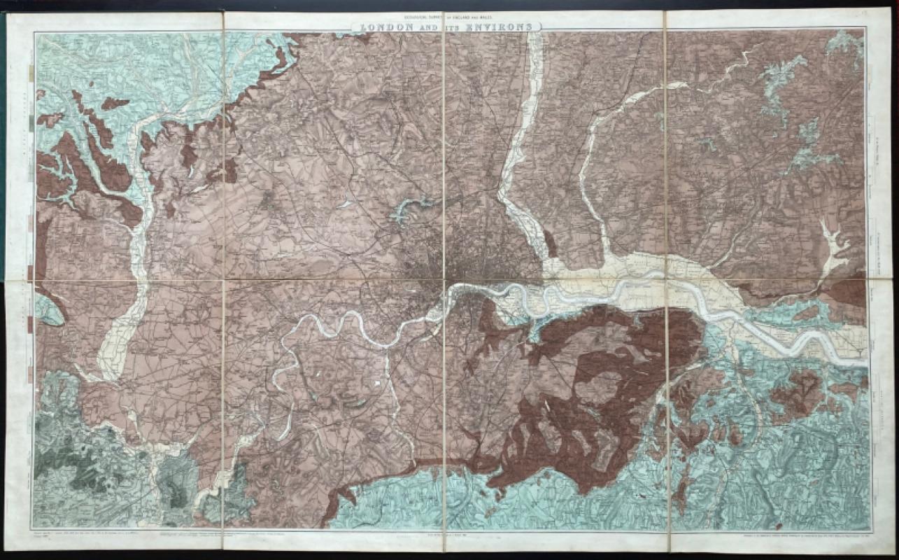
Geological Survey of England and Wales: two maps o...
James
Ordnance Survey
£675.00
Offered by Arthur Hook
London and North Western Railway: Bolton and Chorl...
LNWR
London and North Western Railway
£145.00
Offered by Arthur Hook
Friends of the PBFA
For £10 get free entry to our fairs, updates from the PBFA and more.
Please email info@pbfa.org for more information