Guide Map of Jerusalem.
Book Description
Dealer Notes
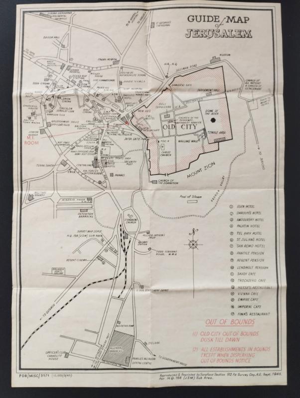
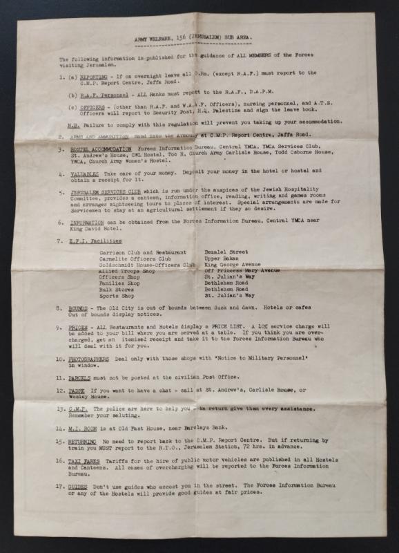
The map shows Jerusalem bounded by the Old City (NE), The Records Office and German Hospital (NW), and Allenby Barracks (S). Some of the map’s points of interest include the Y.M.C.A and key tourist spots including the Church of the Holy Sepulchre, David’s tomb and the Pool of Siloam.
Other books
If you liked the book you've just seen, you might be interested in other books from the same dealer below.

MENA House hotel Cairo
RICHTER & Co. (Printer.), J.PASCAL
MENA House hotel
£75.00
Offered by Peffers Rare Books Ltd.
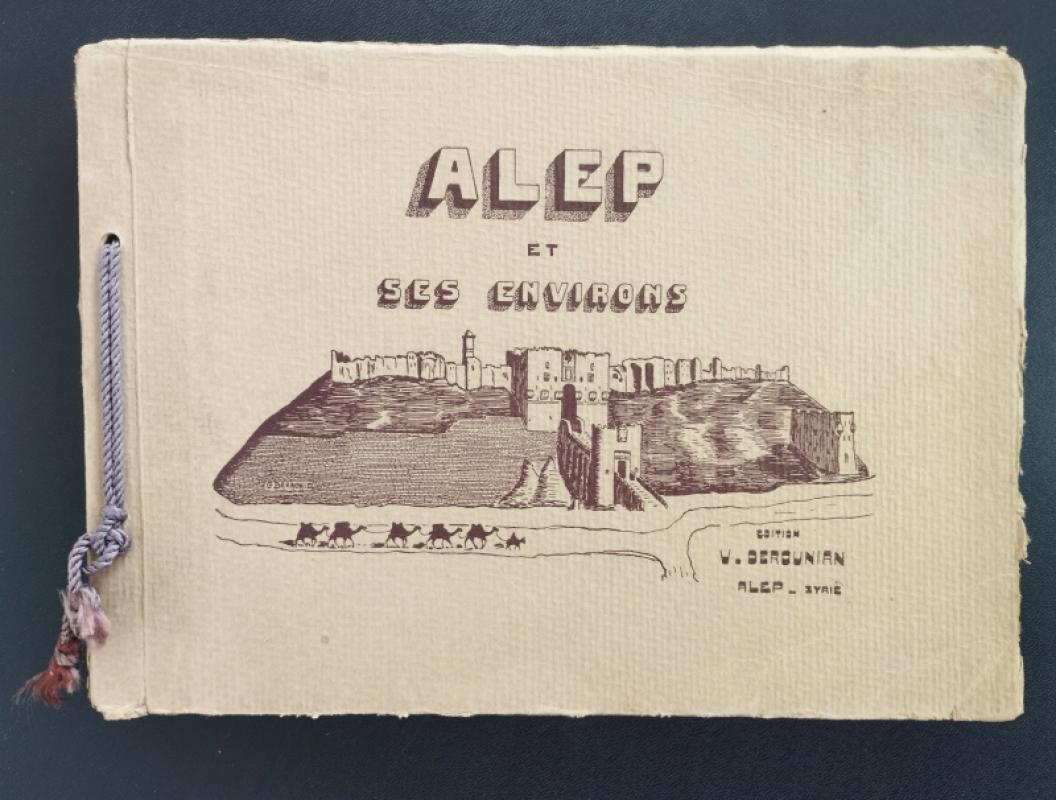
Alep et ses environs
DEROUNIAN (Vartan)
Édition V. Derounian
£450.00
Offered by Peffers Rare Books Ltd.
Every - day Cookery for Every body
CORIS (Mrs.)
Manchester; J.M. Whinnie, p.r. Geo. Bateman, Liverpool.
£75.00
Offered by Peffers Rare Books Ltd.
Turkey in Asia
PROTHERO, G.W. (ed.)
His Majesty's Stationery Office (HMSO).
£250.00
Offered by Peffers Rare Books Ltd.
Aleppo College Literary Review [adab alkulyat]
ALEPPO COLLEGE
Aleppo College
£200.00
Offered by Peffers Rare Books Ltd.
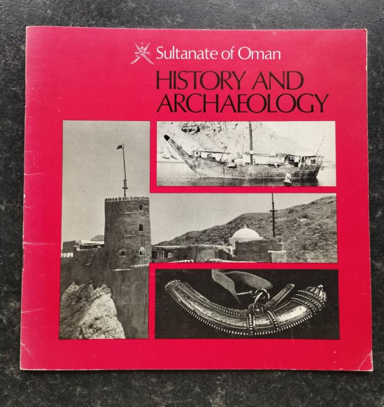
Sultanate of Oman History and Archaeology.
[OMAN]
Ministry of Information and Tourism, Sultanate of Oman
£50.00
Offered by Peffers Rare Books Ltd.
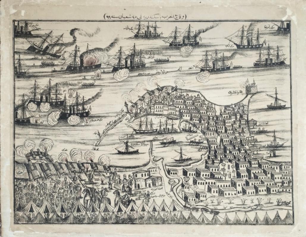
[The bombardment of Alexandria].
[KLOUSI, Mohamed? (Cartographer.)] [URABI]
[Cairo].
£5000.00
Offered by Peffers Rare Books Ltd.
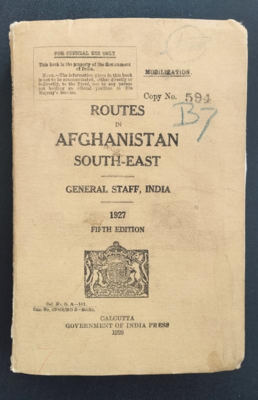
Routes in Afghanistan, South-East
GENERAL STAFF INDIA
General Staff India
£650.00
Offered by Peffers Rare Books Ltd.
Friends of the PBFA
Please email info@pbfa.org for more information