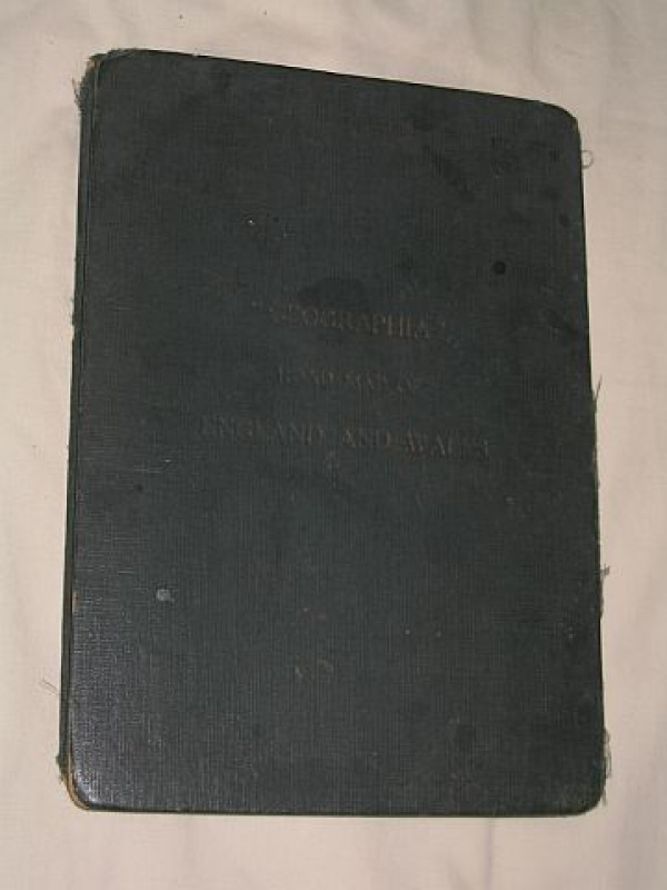
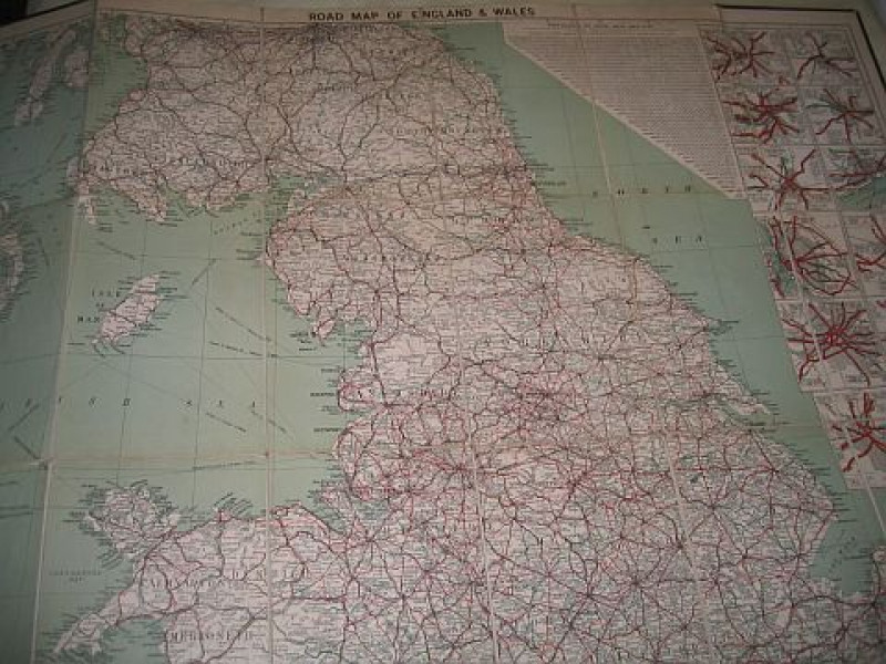
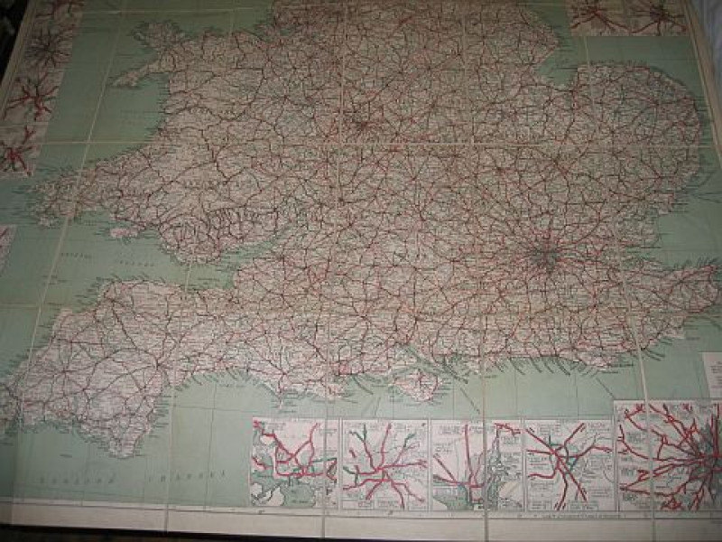
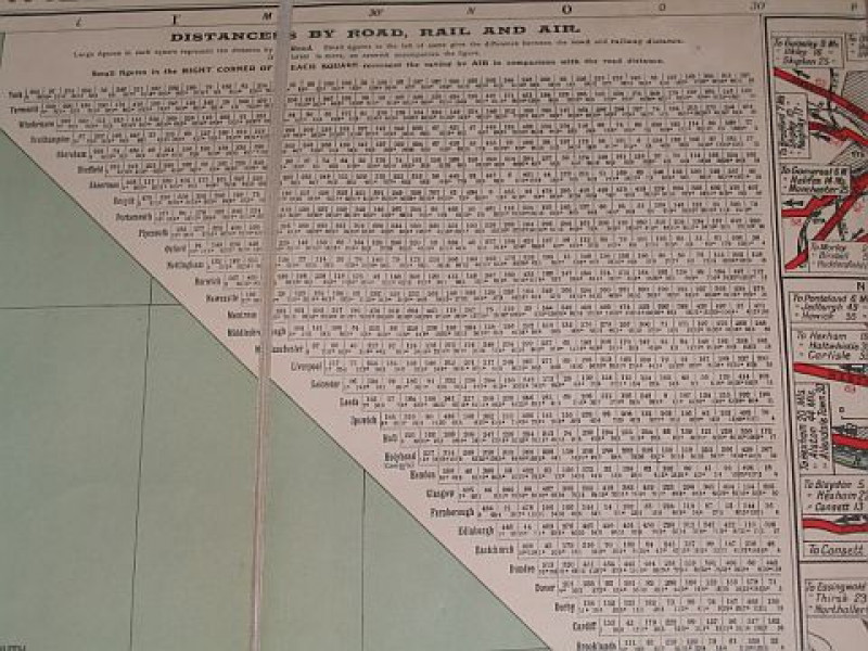
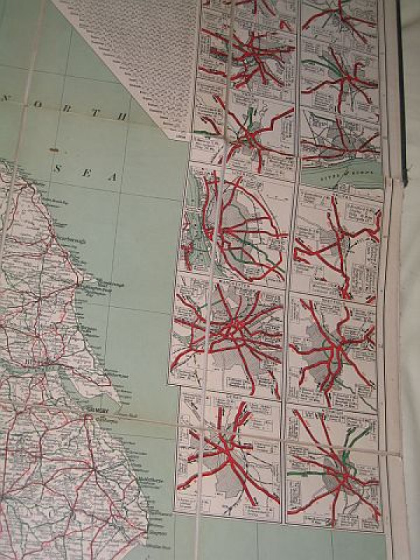
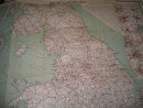
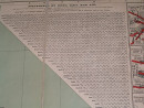
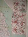
Geographia Road Map Of England And Wales

Book Description
Dealer Notes
Other books
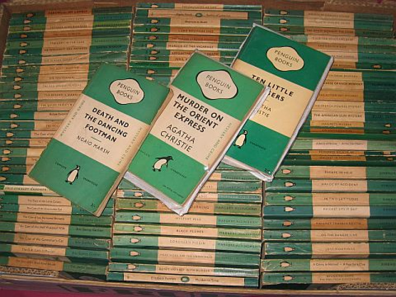
If you liked the book you've just seen, you might be interested in other books from the same dealer below.
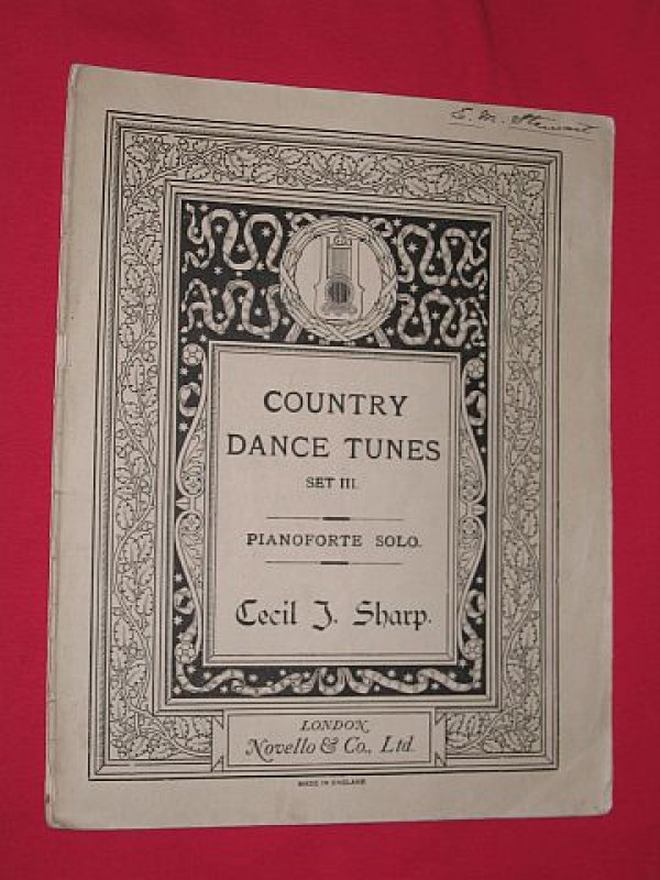
Country Dance Tunes from the English Dancing Maste...
Sharp, Cecil J.
Novello & Co., London
£15.00
Offered by Bookbarrow
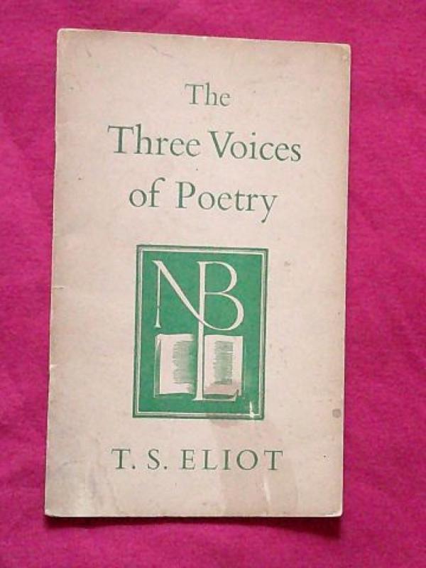
The Three Voices of Poetry
Eliot, T. S.
Cambridge University Press for the National Book League
£15.00
Offered by Bookbarrow
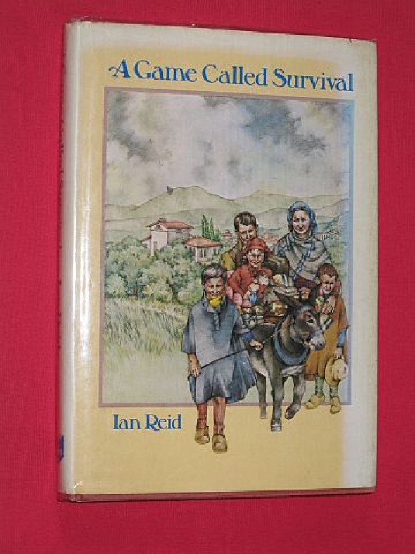
A Game Called Survival: The Story of Betty di San...
Reid, Ian
Evans Brothers Ltd; London
£18.00
Offered by Bookbarrow
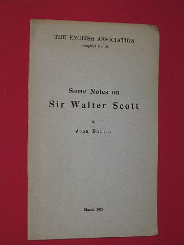
Some Notes on Sir Walter Scott (English Associatio...
Buchan, John
The English Association, London
£15.00
Offered by Bookbarrow
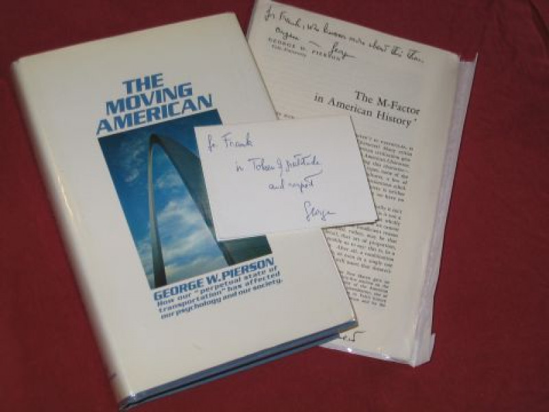
The Moving American (plus: The M-Factor in America...
Pierson, George Wilson
Alfred A Knopf, New York, New York, U.S.A.
£35.00
Offered by Bookbarrow
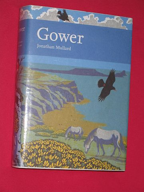
Gower (New Naturalist 99)
Mullard, Jonathan
HarperCollins (Harper Collins), London
£40.00
Offered by Bookbarrow
English Wayfaring Life in Middle Ages - Signed & N...
J. J. Jusserand
T. Fisher Unwin
£100.00
Offered by Bookbarrow
Now Solo: One Woman's Record-breaking Flight Aroun...
Murray, Jennifer
Mainstream Publishing; Edinburgh
£40.00
Offered by Bookbarrow
Friends of the PBFA
Please email info@pbfa.org for more information