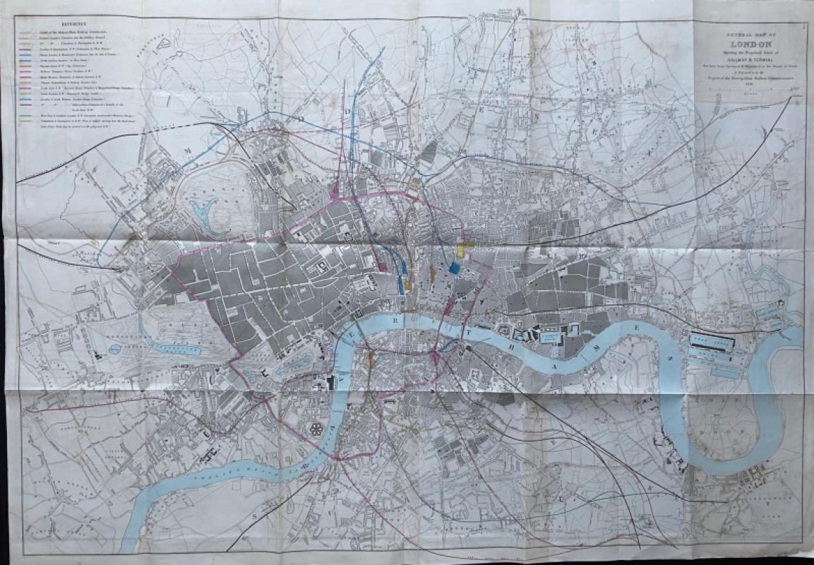
General Map of London Shewing the Proposed Lines of Railway and Termini 1846
Book Description
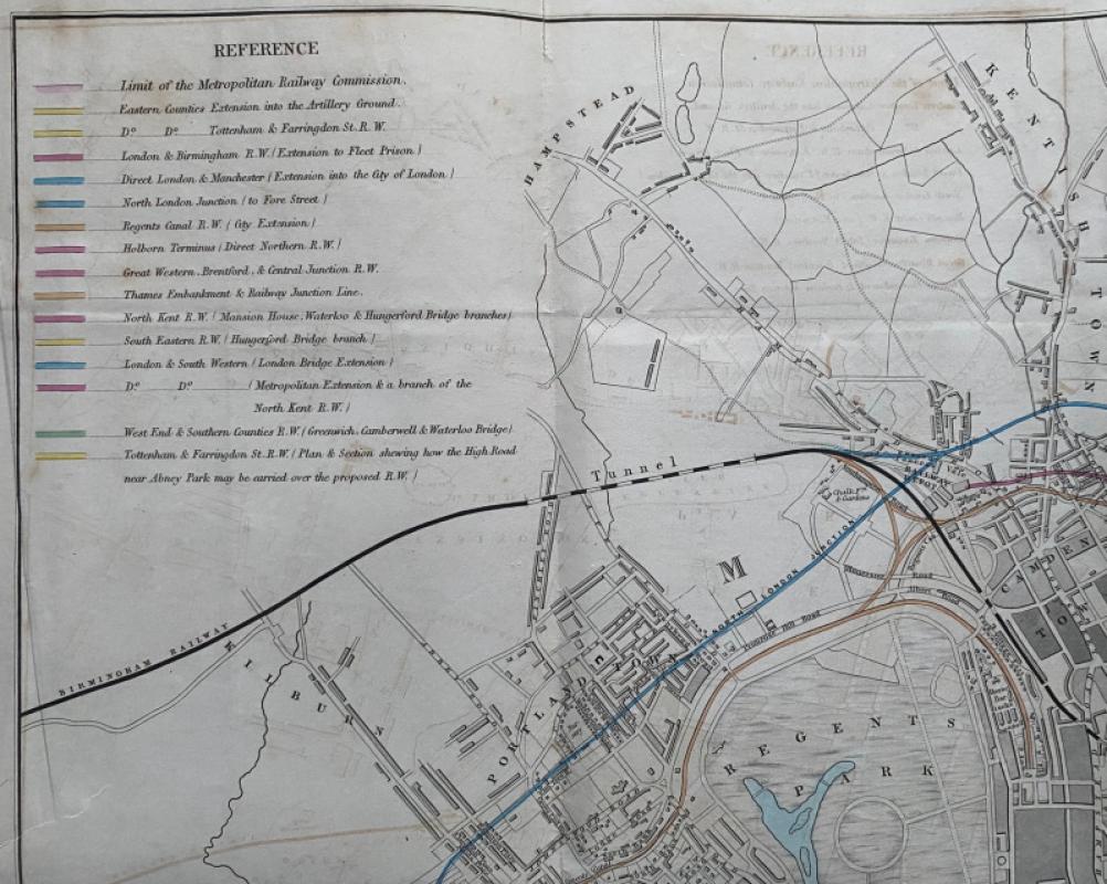
General Map of London Shewing the Proposed Lines of Railway and Termini that have been surveyed and deposited at the Board of Trade and referred to the Metropolitan Railway Commissions, published by Hansard for the House of Commons, London 1846. On paper Size 97 by 67 cm. Scale 8 furlongs to 4 inches, or 4 inches to the mile. With a colour-coded key to lines built and planned. The map covers an area in the north from Hampstead across to Hackney in the east and in the south from Parsons Green and Battersea across to Greenwich Park. A detailed map of London that shows the existing roads, railways and stations at the height of the first burst of railway building but also has suggested new lines and termini that would bring the railways closer to the centre of the city and to each other. Original hand-colouring. Has been folded. Some minor age toning and offsetting but overall VG condition.
Author
Pennethorne
Date
1846
Publisher
Hansard
Condition
Good to VG
Other books
If you liked the book you've just seen, you might be interested in other books from the same dealer below.
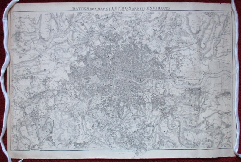
Davies’ New Map of London and its Environs showing...
Davies
Stanford
£175.00
Offered by Arthur Hook
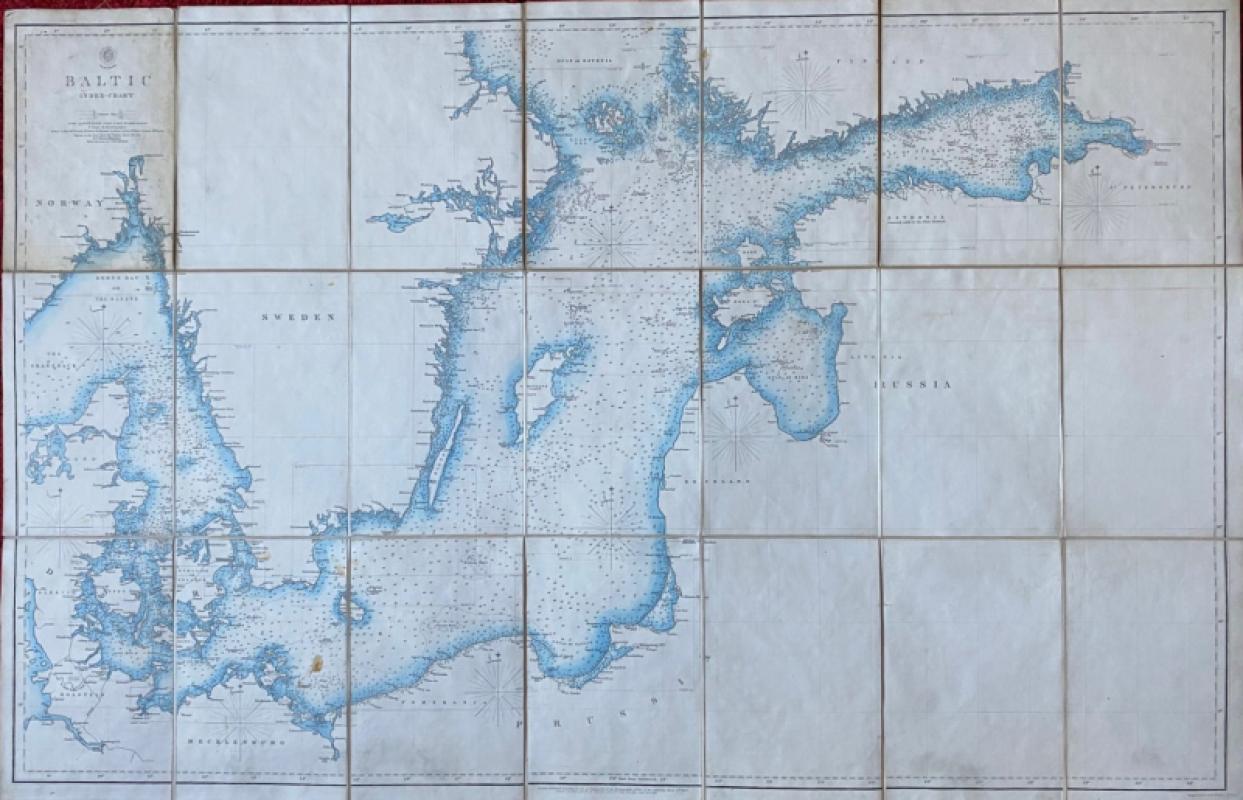
Map of the Baltic 1854
Anon
Hydrographic Office of the British Admiralty
£100.00
Offered by Arthur Hook
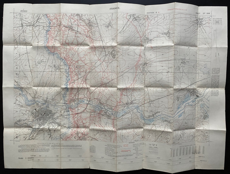
Trench Map of the Arras area France 1917
Ordnance Survey for British General Staff
Ordnance Survey for British General Staff
£165.00
Offered by Arthur Hook
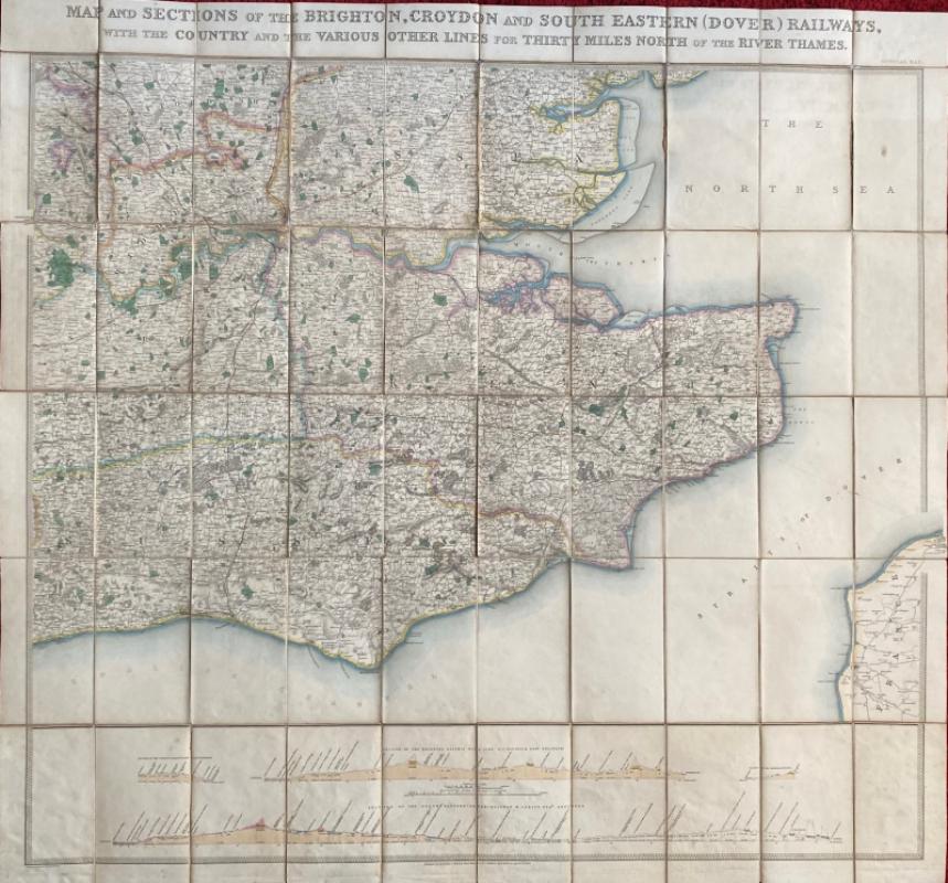
Map and Sections of the Brighton, Croydon and Sout...
Jobbins
Jobbins
£275.00
Offered by Arthur Hook
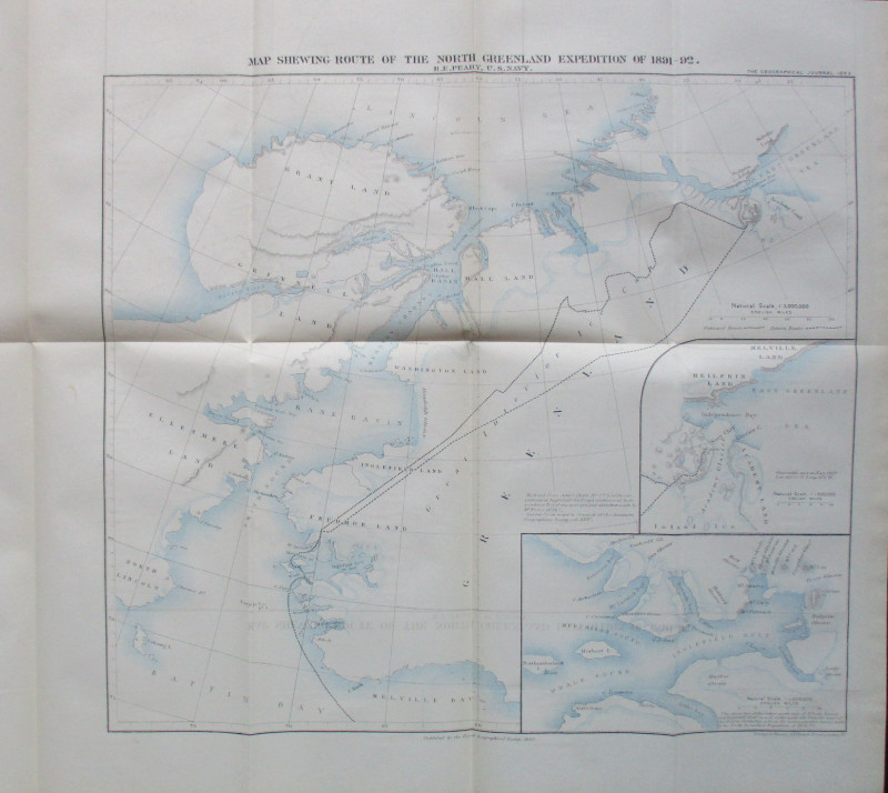
Map Shewing Route of the North Greenland Expeditio...
Peary
Royal Geographical Society
£55.00
Offered by Arthur Hook
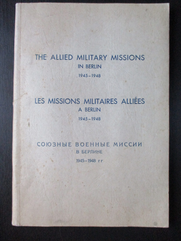
The Allied Military Missions in Berlin 1945-48
The Chief of Allied Liaison and Protocol Section
Allied Liaison and Protocol Section
£100.00
Offered by Arthur Hook
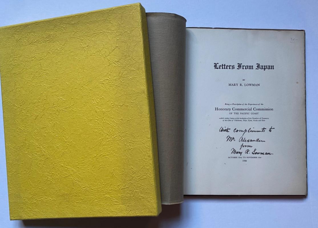
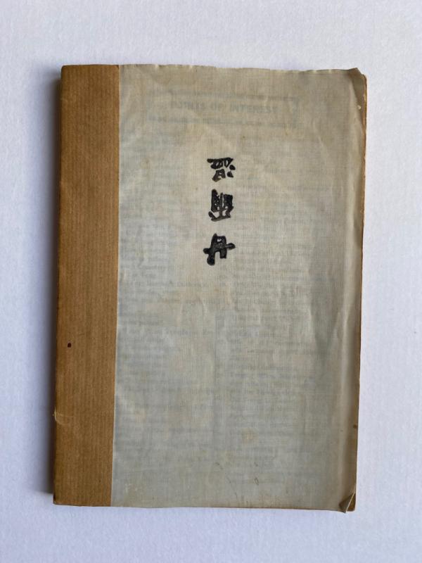
Letters from Japan Being a Description of the Expe...
Lowman
Lowman and Hanford
£175.00
Offered by Arthur Hook
Friends of the PBFA
For £10 get free entry to our fairs, updates from the PBFA and more.
Please email info@pbfa.org for more information