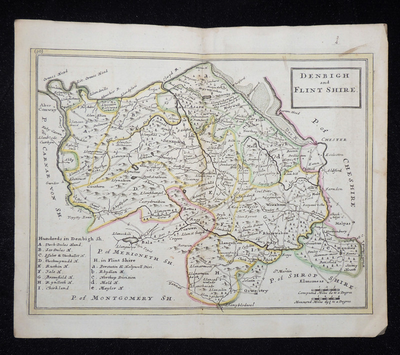
Denbigh and Flint Shire
Book Description
Other books
If you liked the book you've just seen, you might be interested in other books from the same dealer below.
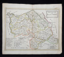
Missions in Western Polynesia
Murray, A[rchibald] W[right]
John Snow
£150.00
Offered by Paul Haynes Rare Books
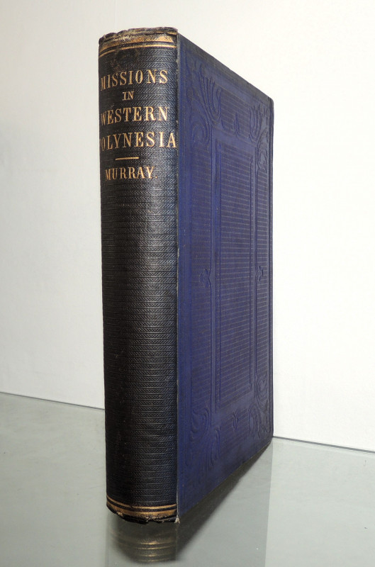
The Audubon Folio
Audubon, James; Dock, George (ed.)
Harry N. Abrams. New York
£60.00
Offered by Paul Haynes Rare Books
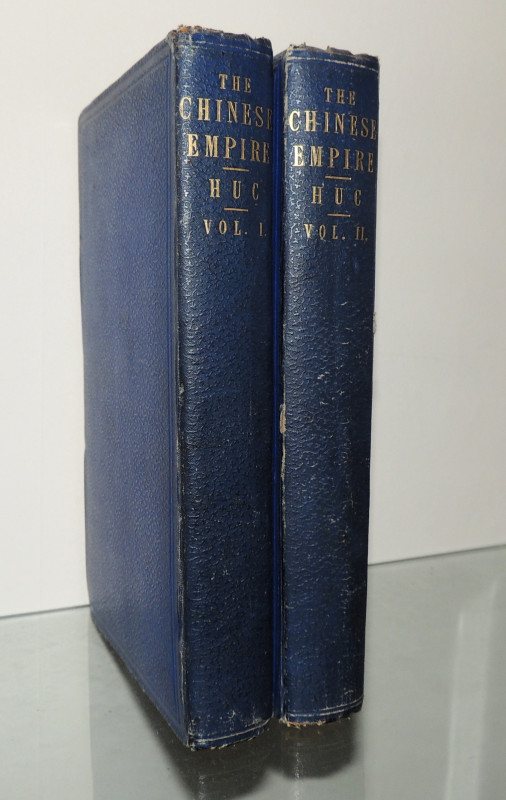
The Chinese Empire
M. Huc (The Abbé Évariste Régis)
Longman, Brown, Green, and Longmans
£160.00
Offered by Paul Haynes Rare Books
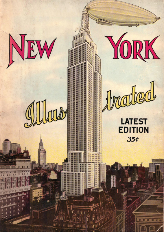
New York Illustrated
Anon
The Manhatten Postcard Publishing Co. Inc.
£30.00
Offered by Paul Haynes Rare Books
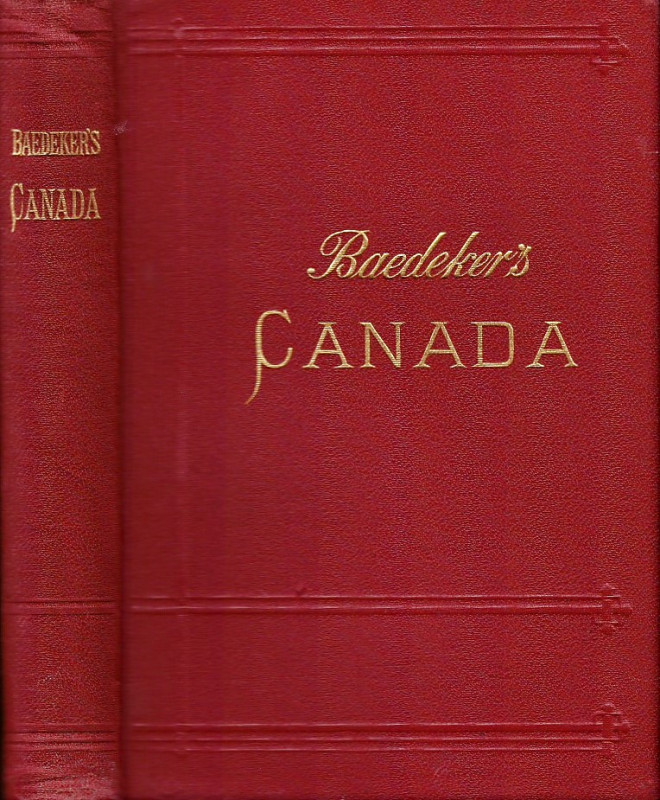
The Dominion of Canada with Newfoundland and an ex...
Baedeker, Karl
Karl Baedeker Leipzig
£85.00
Offered by Paul Haynes Rare Books
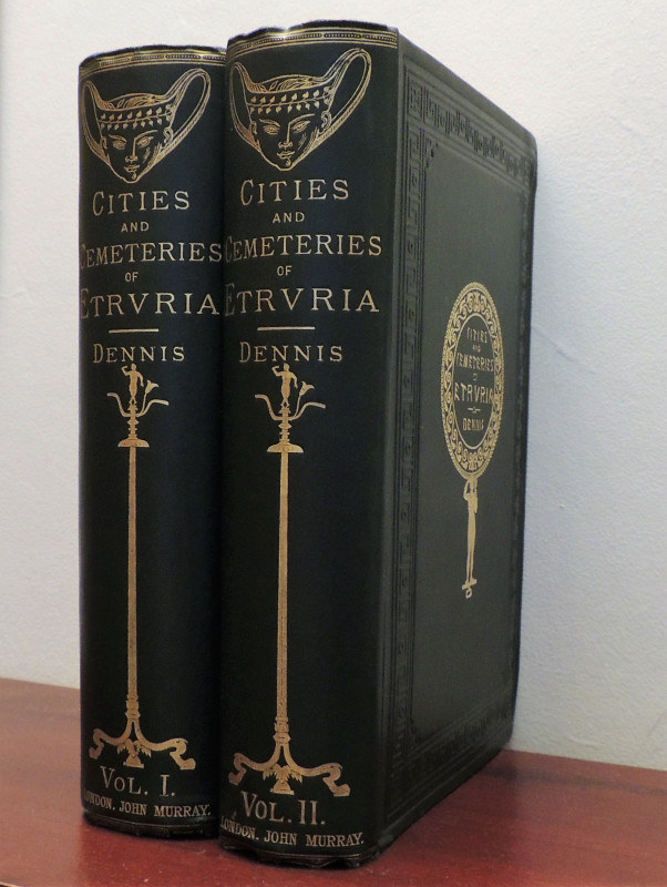
The Cities and Cemeteries of Etruria.
Dennis, George
John Murray
£250.00
Offered by Paul Haynes Rare Books
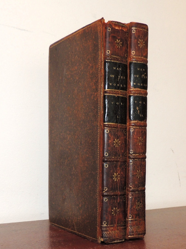
The Man of the World
Henry Mackenzie
Printed for A. Strahan and T. Cadell
£40.00
Offered by Paul Haynes Rare Books
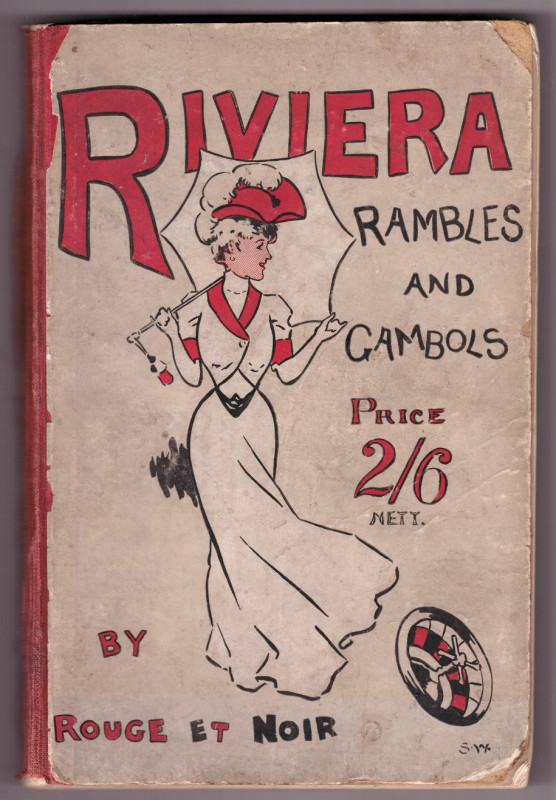
Riviera Rambles and Gambols
Rouge et Noir [Voigt, Charles Adolph]
Published at the Office of the Winning Post. London.
£30.00
Offered by Paul Haynes Rare Books
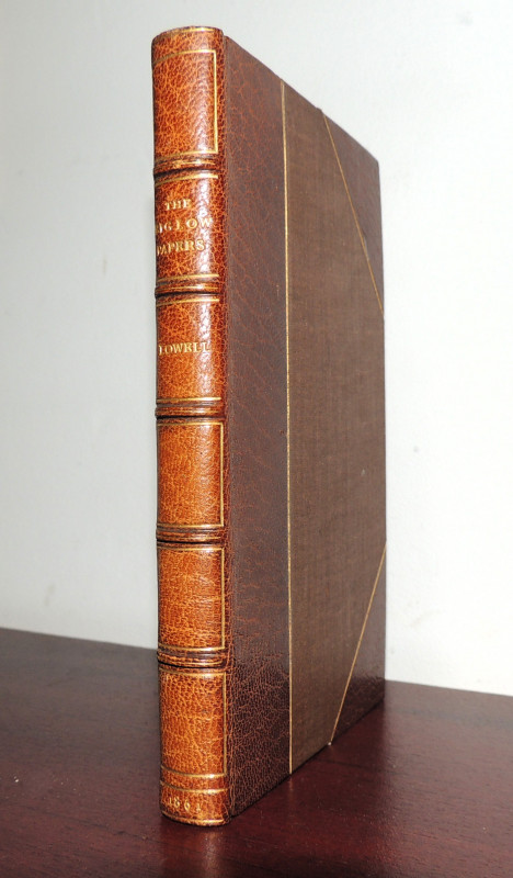
The Biglow Papers
James Russell Lowell
John Camden Hotten, Piccadilly
£75.00
Offered by Paul Haynes Rare Books
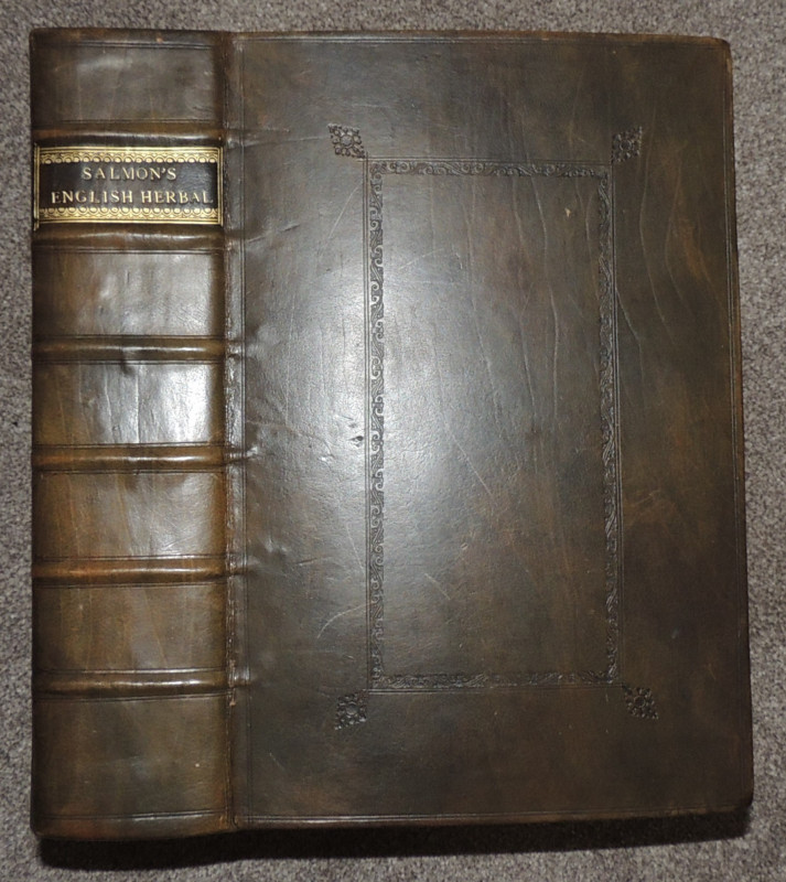
Botanologia
Salmon, William
Printed by I. Dawks for H. Rhodes at the Star, the corner of Bride Lane, in Fleet Street; and J. Taylor, at the Ship in Pater Noster Row
£2800.00
Offered by Paul Haynes Rare Books
Friends of the PBFA
Please email info@pbfa.org for more information