Captain Cook's Three Voyages: First Edition Set (1773-1784) with Atlas
Book Description
COOK, James; HAWKESWORTH, John (ed.); KING, James.
The Three Voyages of Captain James Cook. First Editions.
Comprising:
HAWKESWORTH, John (ed.).
An Account of the Voyages undertaken by the Order of His Present Majesty for Making Discoveries in the Southern Hemisphere…
London: Printed for W. Strahan and T. Cadell, 1773.
3 volumes, quarto.
COOK, James.
A Voyage towards the South Pole, and Round the World, performed in His Majesty’s Ships the Resolution and Adventure…
London: Printed for W. Strahan and T. Cadell, 1777.
2 volumes, quarto.
COOK, James and KING, James.
A Voyage to the Pacific Ocean. Undertaken, by the Command of His Majesty, for Making Discoveries in the Northern Hemisphere…
London: Printed by H. Hughs for G. Nicol and T. Cadell, 1784.
3 volumes, quarto.
WEBBER, John (et al.).
Atlas to A Voyage to the Pacific Ocean…
London: Printed by W. and A. Strahan for G. Nicol and T. Cadell, 1784.
Folio atlas volume.
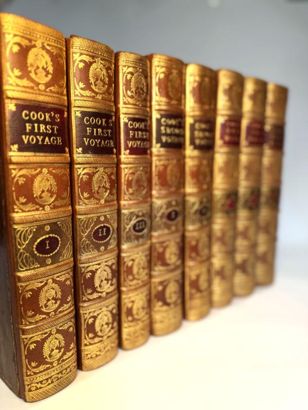
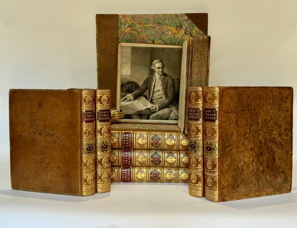
A complete uniformly bound first edition set of Captain James Cook’s three great voyages, together with the rare folio atlas to the third voyage. Eight quarto volumes and one folio atlas.
The official published accounts of Cook’s expeditions, documenting the European exploration of Australia, New Zealand, the Pacific Islands, Hawaii, the Antarctic regions, and the northwest coast of North America. These works form the foundation of Pacific exploration, maritime history, and eighteenth-century cartography.
Collation and Illustration
First Voyage (Hawkesworth), 1773:
Engraved portrait frontispiece of Captain Cook by J. K. Sherwin after Nathaniel Dance.
25 engraved maps and charts, predominantly folding.
27 folding engraved plates, including the often-absent “Chart of the Straits of Magellan.”
Second Voyage (Cook), 1777:
Complete with 64 engraved plates, maps, charts and plans, many folding.
Engraved portrait frontispiece of Cook.
Includes the important cartographic record of Cook’s crossing of the Antarctic Circle and discoveries in the South Pacific.
Third Voyage (Cook and King), 1784:
24 engraved maps and plans, many folding.
The official account of Cook’s final expedition, including his death in Hawaii and the exploration of the Pacific Northwest and Arctic regions.
Atlas to the Third Voyage, 1784:
Folio. Complete with 61 engraved plates and 2 engraved maps.
Engravings by John Webber, official artist to the expedition, providing the principal visual record of Cook’s final voyage.
Binding and Condition
Uniformly bound in contemporary gilt calf, the first voyage with modern gilt backstrips and contrasting morocco lettering pieces; the second in brown tree calf with gilt spines and morocco labels; the third and atlas in contemporary boards. Light rubbing and spotting to covers. Text with occasional foxing and offsetting, heavier in parts of the Hawkesworth volumes; minor wormholing to margins of Volume II of the first voyage; fold-out maps professionally repaired where noted. The atlas with damp staining and foxing throughout, edges of final section worn. Overall a desirable and complete set.
Provenance
Castle Goring (first voyage). Additional previous ownership signatures and bookplates as noted.
A cornerstone collection in the literature of maritime exploration and eighteenth-century discovery, complete in first edition form and including the rare atlas volume. Essential for any serious collection of Pacific exploration, cartography, or the history of discovery.
Offered by Arch Books, specialists in early voyages, exploration, and significant first editions relating to the history of discovery.
Author
Cook (James), Hawkesworth (John)
Date
1773-84
Binding
Finely Bound at Arch Books
Publisher
W. Strahan and T. Cadell
Condition
Fine
Other books
If you liked the book you've just seen, you might be interested in other books from the same dealer below.
Captain Cook's Three Voyages: First Edition Set (1...
Cook (James), Hawkesworth (John)
W. Strahan and T. Cadell
£37500.00
Offered by Arch Books
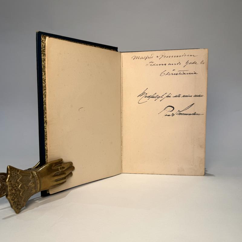
Roald Amundsen’s Signed, Expedition-Carried Copy o...
Nansen, Fridtjof
H. Aschehoug and Co.
Reserved
Offered by Arch Books
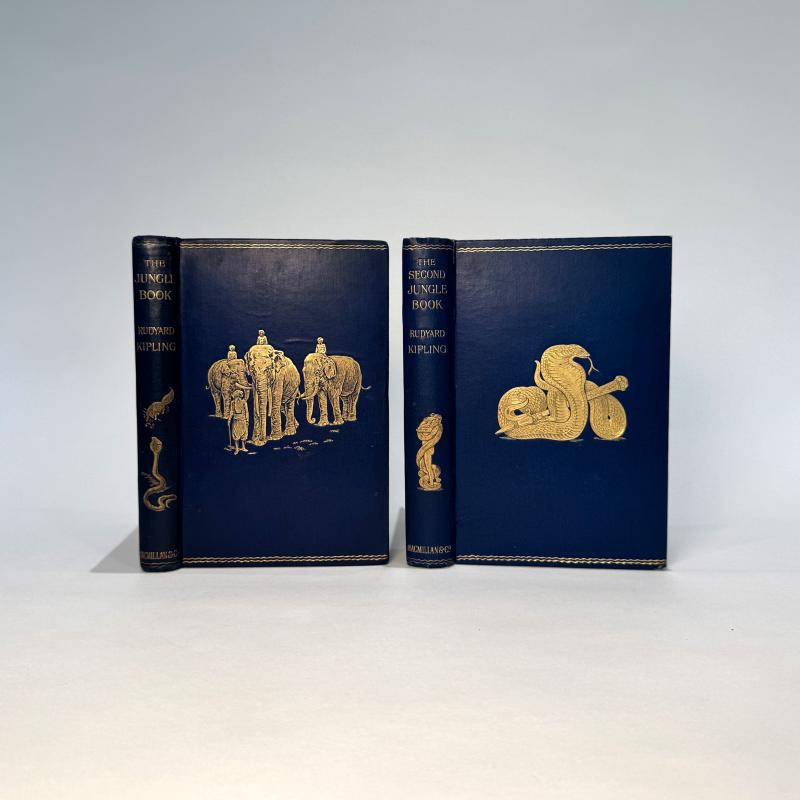
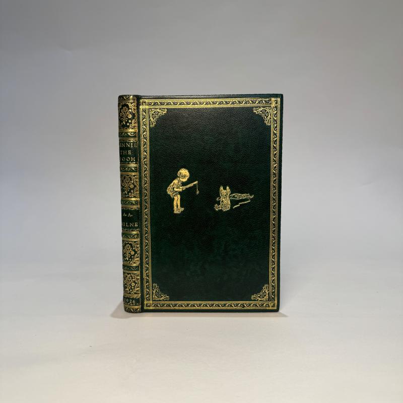
The Jungle Book (1894) and The Second Jungle Book...
Rudyard Kipling
Macmillan and Co
£4500.00
Offered by Arch Books
Friends of the PBFA
For £10 get free entry to our fairs, updates from the PBFA and more.
Please email info@pbfa.org for more information