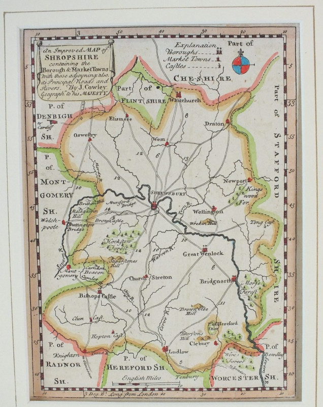
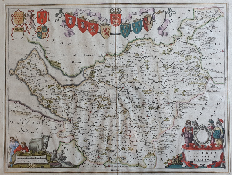
An Improved Map of Shropshire
Book Description
Other books
If you liked the book you've just seen, you might be interested in other books from the same dealer below.
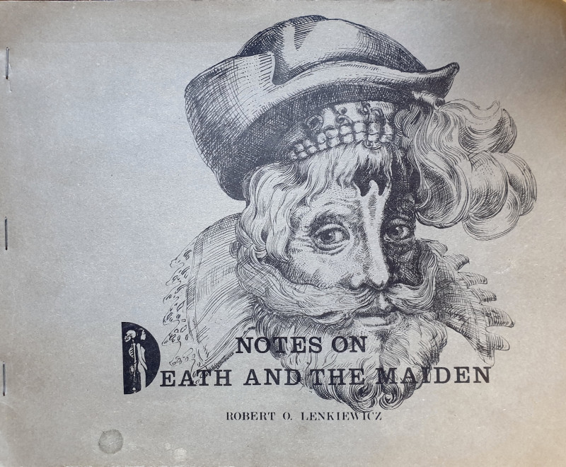
Notes On Death And The Maiden.
[ARTISTS BOOK]. Lenkiewicz, Robert.O.
[Plymouth, England]: [By the author],
£150.00
Offered by Alastor Rare Books
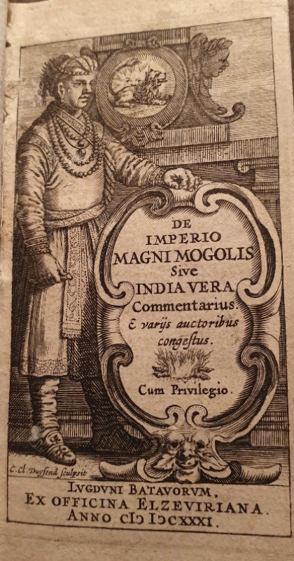
[A POCKET 17TH C HISTORY OF INDIA BY THE DIRECTOR...
De Laet, Joannes. De Imperio Magni Mogolis Sive India Vera Commentarius....
Lvgdvni Batavorvm i.e. Leiden:Ex Officina Elzeviriana,
£140.00
Offered by Alastor Rare Books
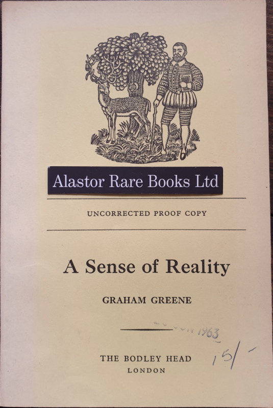
[PROOF COPY]
Greene, Graham. A Sense Of Reality.
The Bodley Head,
£50.00
Offered by Alastor Rare Books
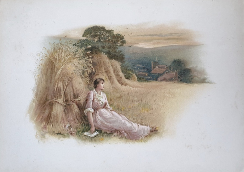
[CHROMOLITHOGRAPHY].
Longfellow, Henry Wadworth. The Day is Done.
London & New York: Ernest Nister & E. P. Dutton & Co.
£35.00
Offered by Alastor Rare Books
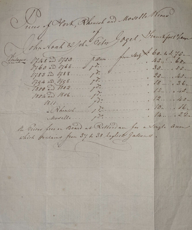
[AN MS PRICE LIST FOR VINTAGE 18TH C GERMAN WHITE...
[Noah & Gogel].
£30.00
Offered by Alastor Rare Books
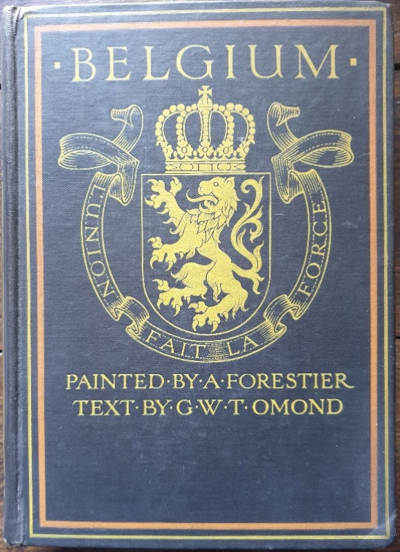
[A & C. BLACK COLOUR BOOK]. Belgium.
Omond, George W. T.
London: A & C. Black, Soho Square,
£40.00
Offered by Alastor Rare Books
Friends of the PBFA
Please email info@pbfa.org for more information