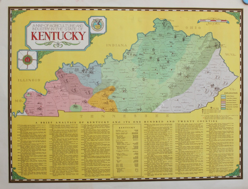
A Map of the Agriculture and Industry in the State of Kentucky.

Book Description
An attractive coloured map based on U.S. Census and Kentucky State Planning Board Information. 415 x 555 with wide margins. Fine.
Presumably issued as a give-away to customers of the bank, Smith produced a number of attractive illustrative maps of various U.S. states.
Author
KARL SMITH
Date
1935.
Publisher
Louisville, Kentucky: Liberty National Bank and Trust Co.,
Other books
If you liked the book you've just seen, you might be interested in other books from the same dealer below.
COAL MERCHANTS, HORNCASTLE, LINCOLNSHIRE
W. ROBERTS & SON
£75.00
Offered by Michael S Kemp Bookseller
RARE EARLY PLAN OF HAMPSTEAD GARDEN SUBURB
BARRY PARKER and RAYMOND UNWIN
£600.00
Offered by Michael S Kemp Bookseller
The Ruins of Paestum, Otherwise Posidonia in Magna...
Thomas MAJOR
Printed by James Dixwell for T. Major,
£3500.00
Offered by Michael S Kemp Bookseller

DUCHESS OF MALFI - RARE OFFPRINT OF THE ILLUSTRATI...
MICHAEL AYRTON ILLUSTRATOR
£150.00
Offered by Michael S Kemp Bookseller
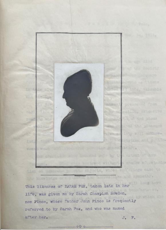
The Diary of Sarah Fox [Champion]. Quaker Diarist.
FOX, Sarah
£3250.00
Offered by Michael S Kemp Bookseller
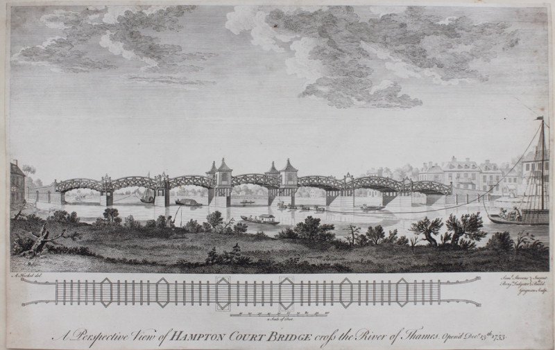
A Perspective View of Hampton Court Bridge Cross t...
HECKEL, A[ugustin]
Charles Grignon,
£300.00
Offered by Michael S Kemp Bookseller
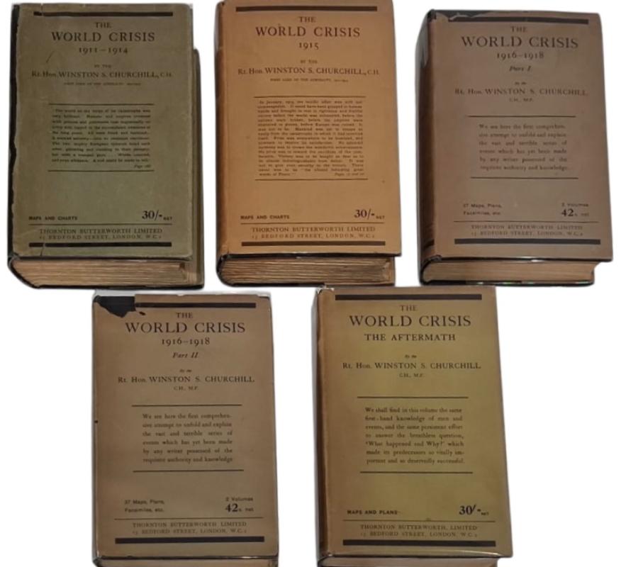
THE WORLD CRISIS VOLUMES 1 - 5. ALL 1ST EDITIONS I...
WINSTON CHURCHILL
£1750.00
Offered by Michael S Kemp Bookseller
Friends of the PBFA
For £10 get free entry to our fairs, updates from the PBFA and more.
Please email info@pbfa.org for more information