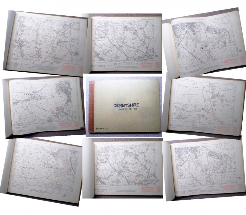
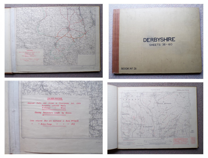
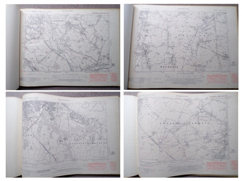
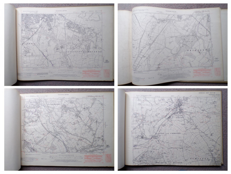
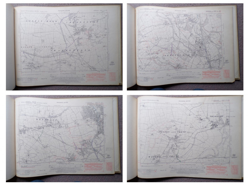
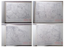
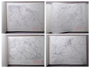
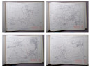
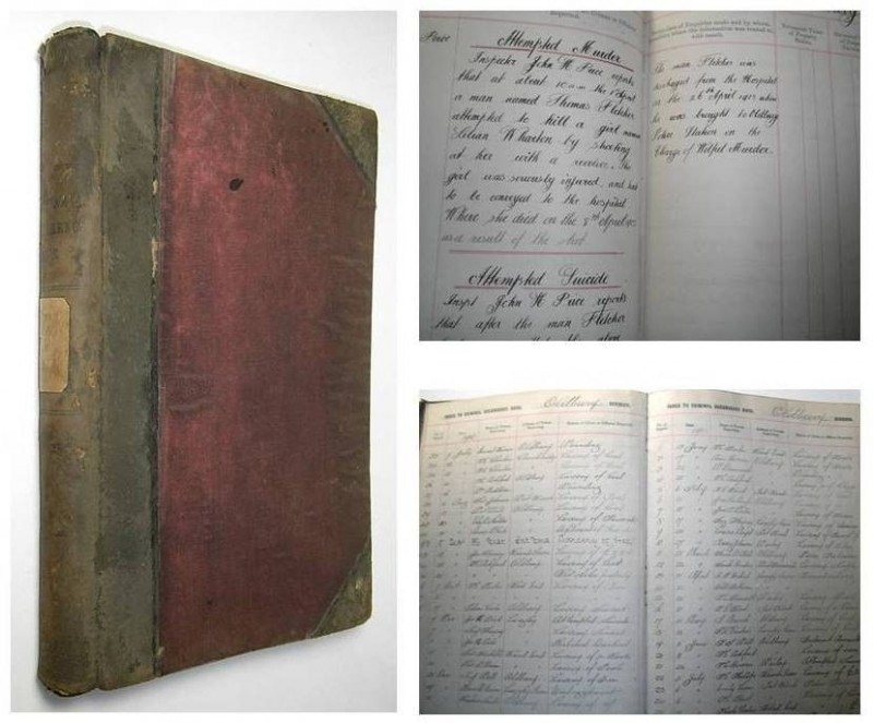
52 ORDNANCE SURVEY MAPS OF DERBYSHIRE


Book Description
Dealer Notes
THIS IS A LARGE HEAVY VOLUME WEIGHING OVER FIVE KILOS PACKED
Other books
If you liked the book you've just seen, you might be interested in other books from the same dealer below.
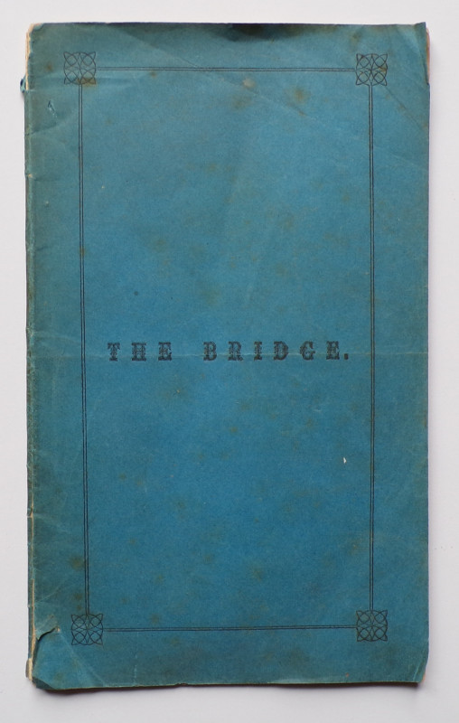
THE BRIDGE Celebrating the building of a Bridge ov...
George Murray, Minister at Balmaclellan
the Advertiser Office, Castle Douglas,
£175.00
Offered by Andrew Cox
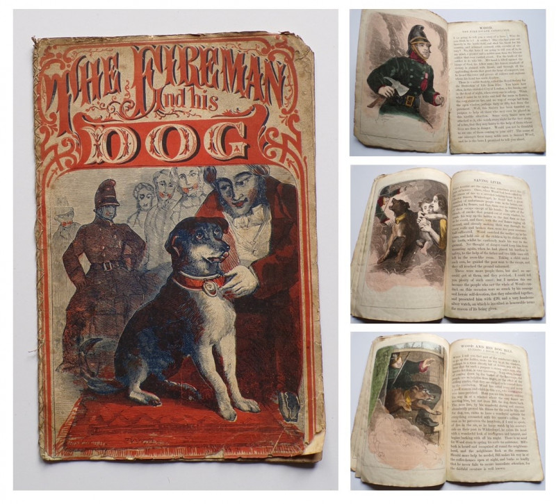
THE FIREMAN AND HIS DOG
Victorian Hand Coloured Children's Book
Darton and Co
£450.00
Offered by Andrew Cox
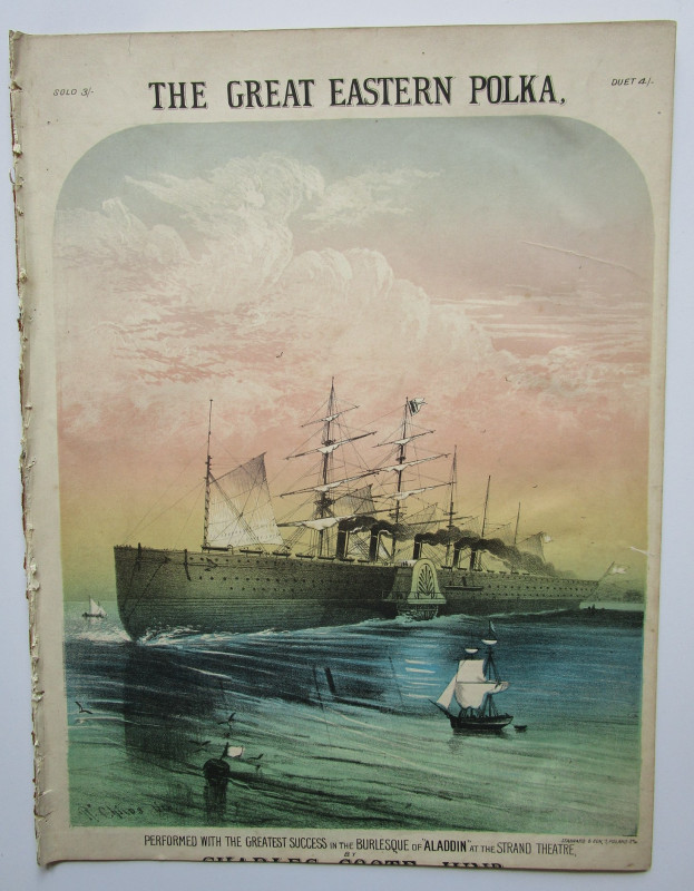
THE GREAT EASTERN POLKA
Charles Coote Junior
Isambard Kingdom Brunel interest
£150.00
Offered by Andrew Cox
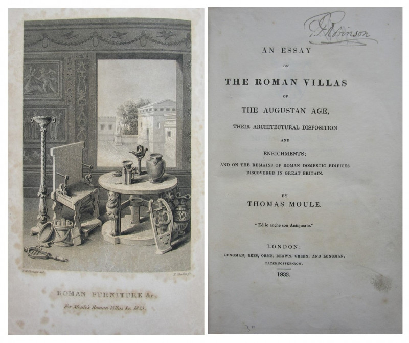
AN ESSAY ON THE ROMAN VILLAS OF THE AUGUSTAN AGE
Thomas Moule
First Edition 1833
£145.00
Offered by Andrew Cox
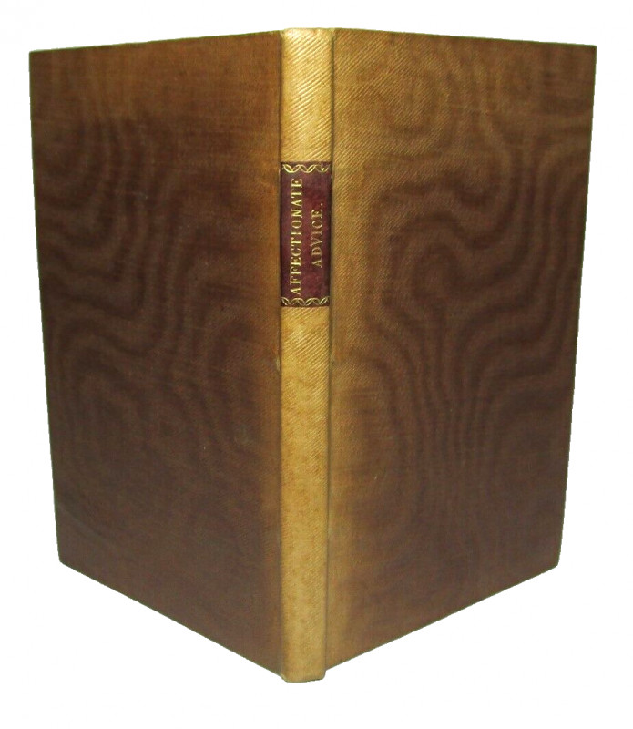
1794 MARRIAGE ADVICE TO A YOUNG COUPLE
James Bean, Vicar of Olney, Buckinghamshire
Printed for F. and C. Rivington
£150.00
Offered by Andrew Cox
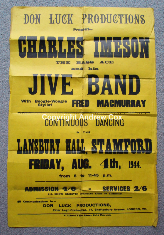
CHARLES IMESON THE BASS ACE AND HIS JIVE BAND
LANSBURY HALL, STAMFORD Friday August 4th 1944
WARTIME DANCE / CONCERT POSTER
£55.00
Offered by Andrew Cox
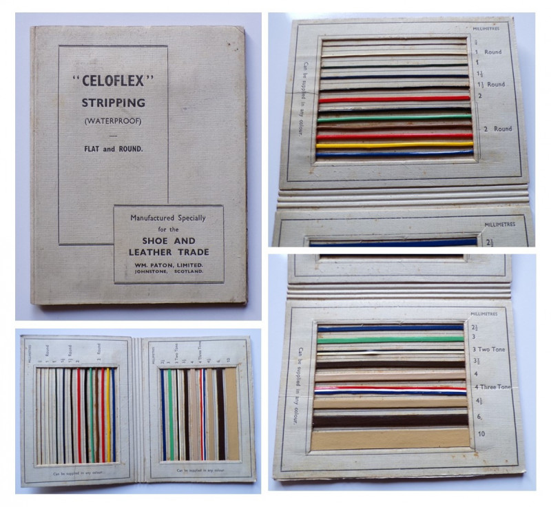
CELOFLEX STRIPPING (WATERPROOF) FLAT and ROUND
Manufactured Specially for the Shoe and Leather Trade
William Paton Limited, Johnstone, Scotland
£25.00
Offered by Andrew Cox
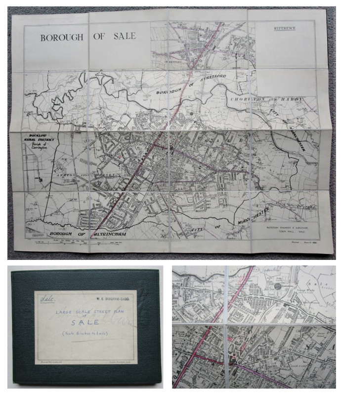
LARGE SCALE STREET PLAN OF SALE
W. E. Bingham-Gadd, Borough Engineer & Surveyor,
Trafford, Greater Manchester
£75.00
Offered by Andrew Cox
Friends of the PBFA
Please email info@pbfa.org for more information