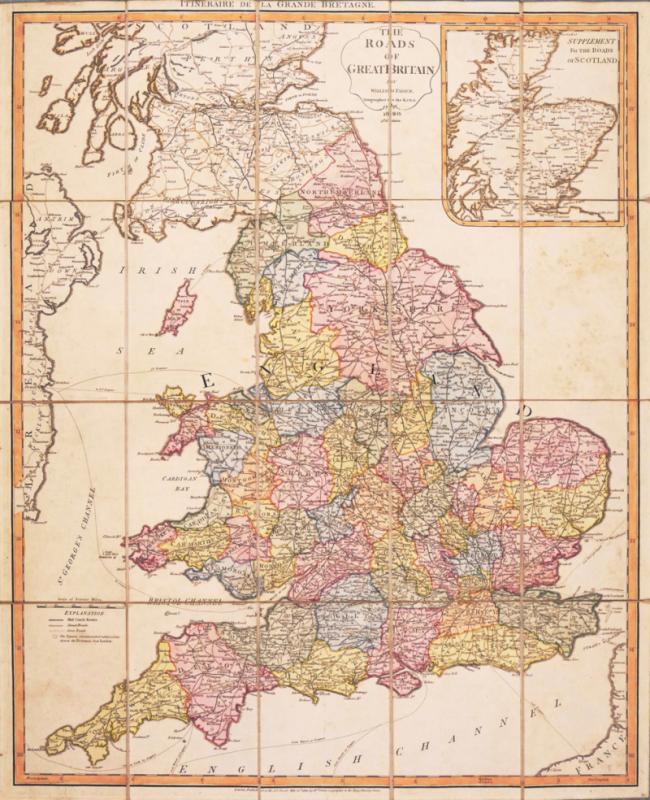
The Roads of Great Britain
Book Description
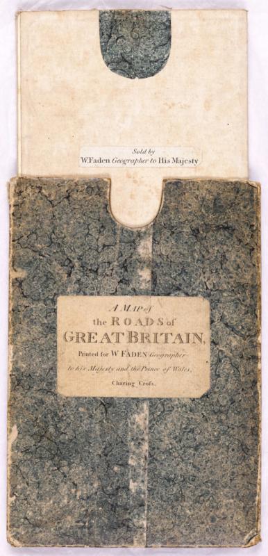
Dealer Notes
Other books
If you liked the book you've just seen, you might be interested in other books from the same dealer below.
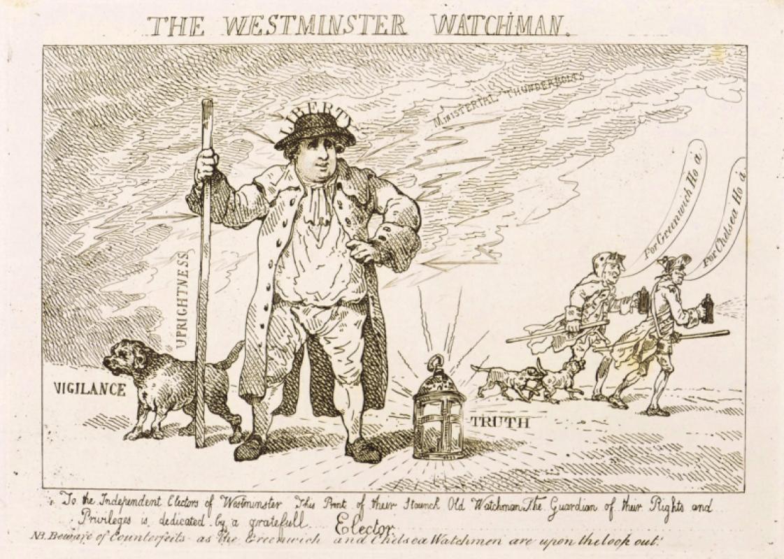
The Westminster Watchman.
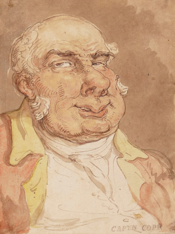
Rowlandson (Thomas)
[William Humphrey]
£150.00
Offered by Robert Hall Pictures
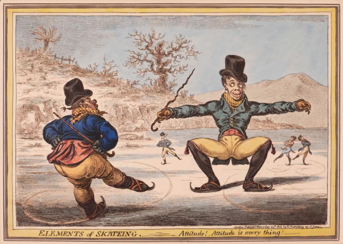
Elements of Skateing. Attitude! Attitude is every...
Gillray (James)
Hannah Humphrey
£375.00
Offered by Robert Hall Pictures

Song of Songs 5 [There are threescore Queens...]
Wolfe (Edward, RA)
printed by Senecio Press
£250.00
Offered by Robert Hall Pictures
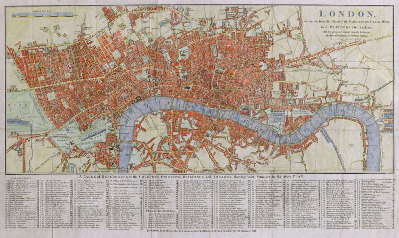
London, extending from the Head of the Paddington...
Russell (John)
James Stratford, London
£375.00
Offered by Robert Hall Pictures
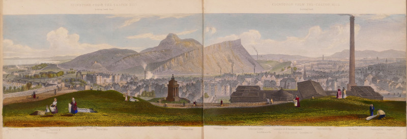
Edinburgh, A Complete View of The City and Environ...
Steuart (T.)
Ackermann & Co.; and J. Menzies, London and Edinburgh
£750.00
Offered by Robert Hall Pictures
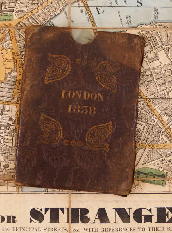
Wallis's Guide for Strangers through London, 1838
Wallis (Edward)
£750.00
Offered by Robert Hall Pictures
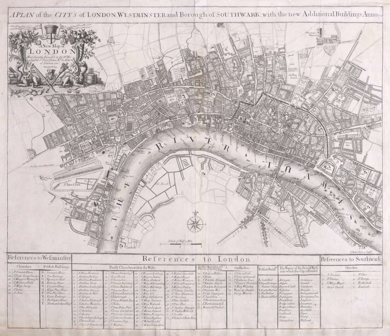
A Plan of the City's of London, Westminster and Bo...
Parker (Samuel)
John Senex, London
£1250.00
Offered by Robert Hall Pictures
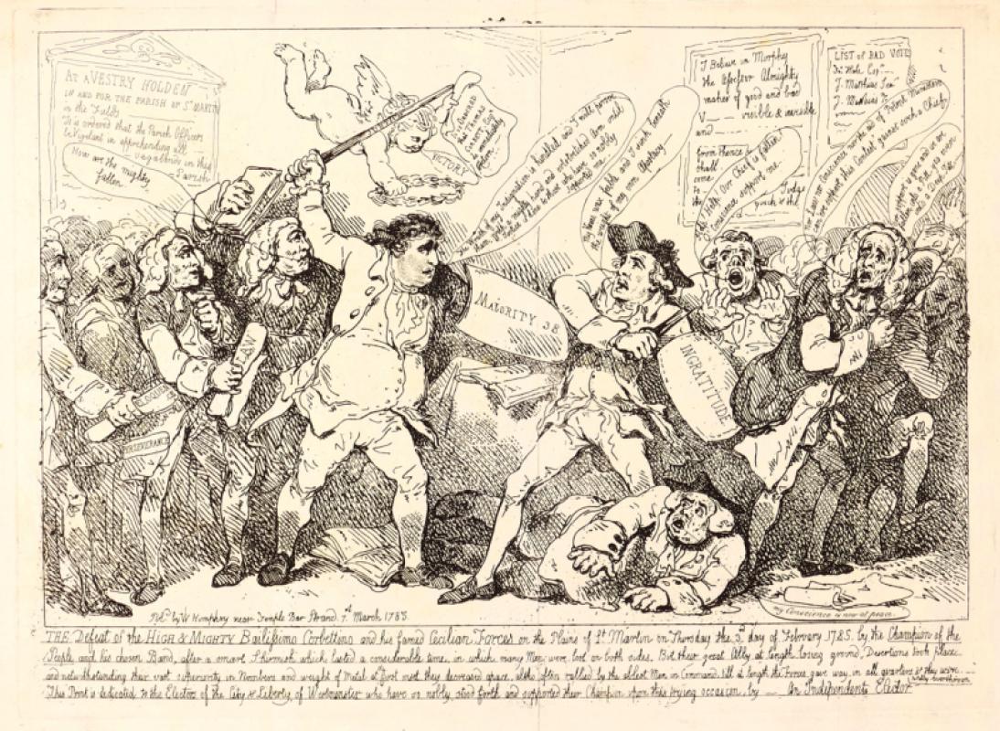
The Defeat of the High & Mighty Bailissimo Corbett...
Rowlandson (Thomas)
William Humphrey
£150.00
Offered by Robert Hall Pictures
Friends of the PBFA
Please email info@pbfa.org for more information