The Large Scale County Maps of the British Isles 1596-1850, a union list
Book Description
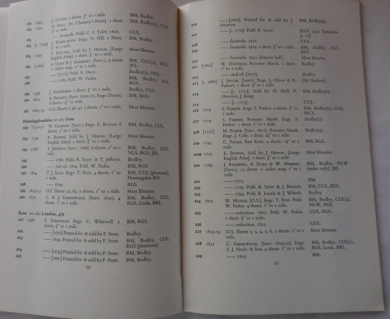
Published by the Bodleian Library, Oxford, 1960, 1st edition. Paperback. Thin card covers with black lettering and illustration from Martyn's map of Cornwall, 1748 to front cover. 9.75ins x 6.25ins, xx, 52pp. Arranged alphabeticaally by county covering England, Wales, Islands, Scotland and Ireland. Includes index of names and index of places. VG.
Dealer Notes
stock no: 49946
Author
Rodger, Elizabeth M.
Date
1960
Binding
card covers
Publisher
Bodleian Library
Condition
VG
Other books
If you liked the book you've just seen, you might be interested in other books from the same dealer below.
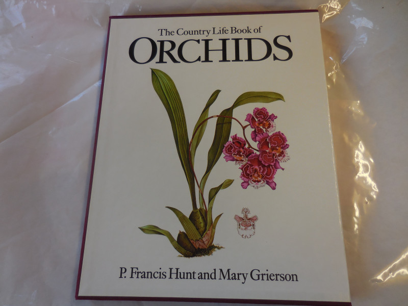
The Country Life book of Orchids
Hunt, P. Franci & Grierson, Mary
Country Life
£20.00
Offered by Missing Books

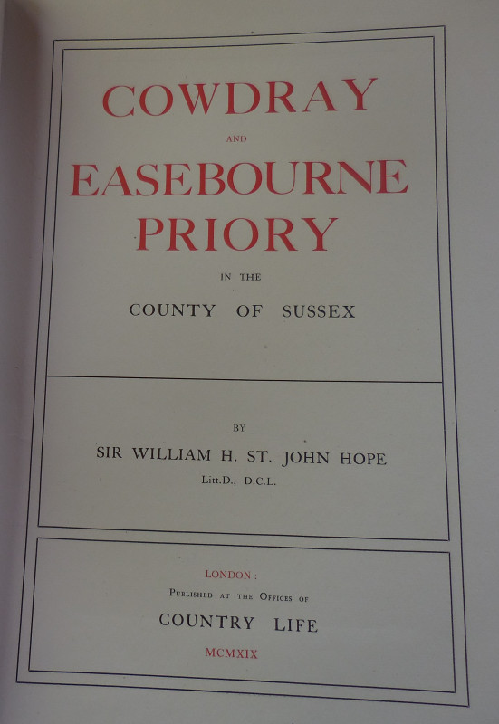
Cowdray and Easebourne Priory in the County of Sus...
Hope, Sir William H. St. John
Country Life
£125.00
Offered by Missing Books
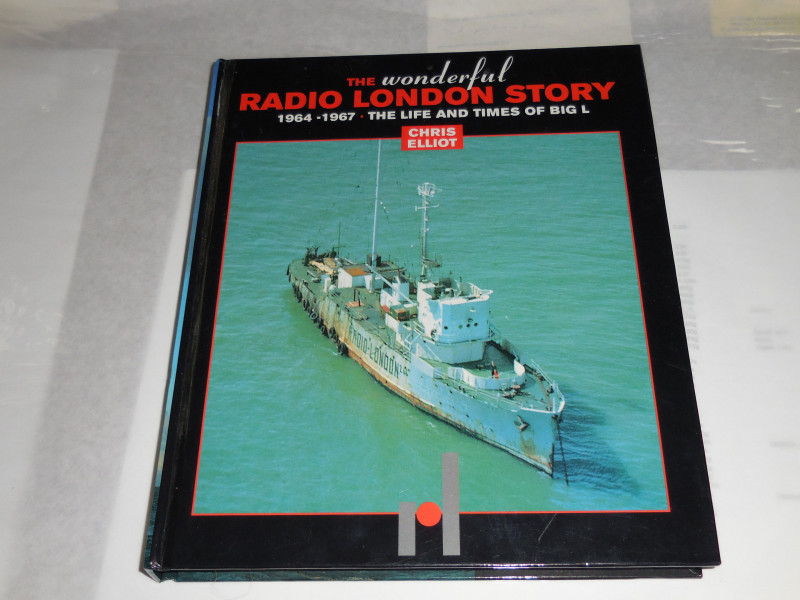
The Wonderful Radio London story 1964-1967 - the l...
Elliot, Chris
East Anglian Productions
£40.00
Offered by Missing Books
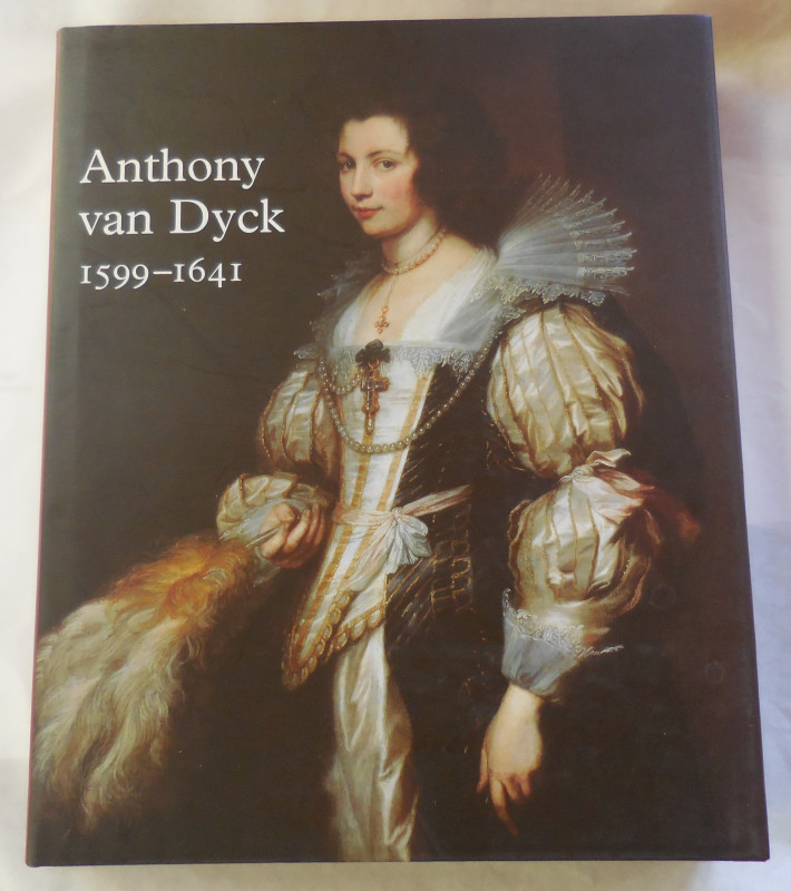
Anthony Van Dyck 1599-1641
Brown, Christopher & Vlieghe, Hans
Royal Academy Publications
£15.00
Offered by Missing Books
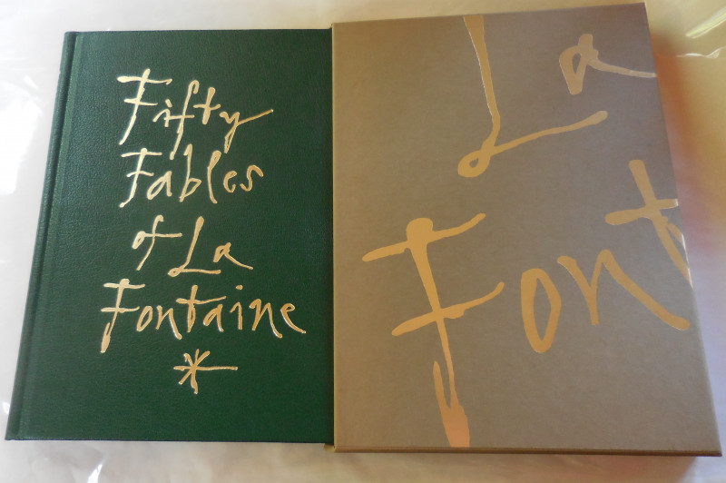
Fifty Fables of La Fontaine (Limited edition)
Fontaine, Jean de la (illus Quentin Blake)
Folio Society
£350.00
Offered by Missing Books
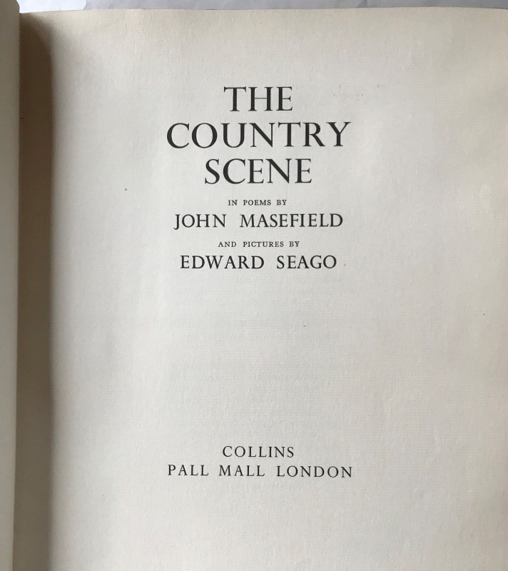
The Country Scene, in poems by John Masefield and...
Masefield, John (illus Edward Seago)
Collins
£75.00
Offered by Missing Books
Kissing the Gunner's Daughter (1st USA ed)
Rendell, Ruth
Mysterious Press
£7.50
Offered by Missing Books
Friends of the PBFA
For £10 get free entry to our fairs, updates from the PBFA and more.
Please email info@pbfa.org for more information