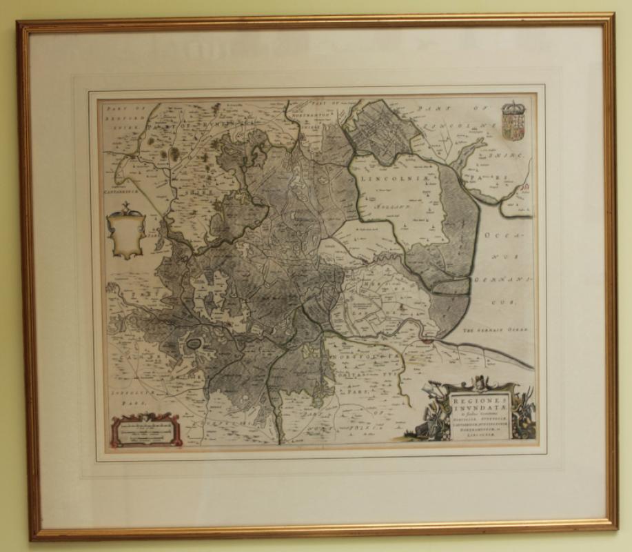
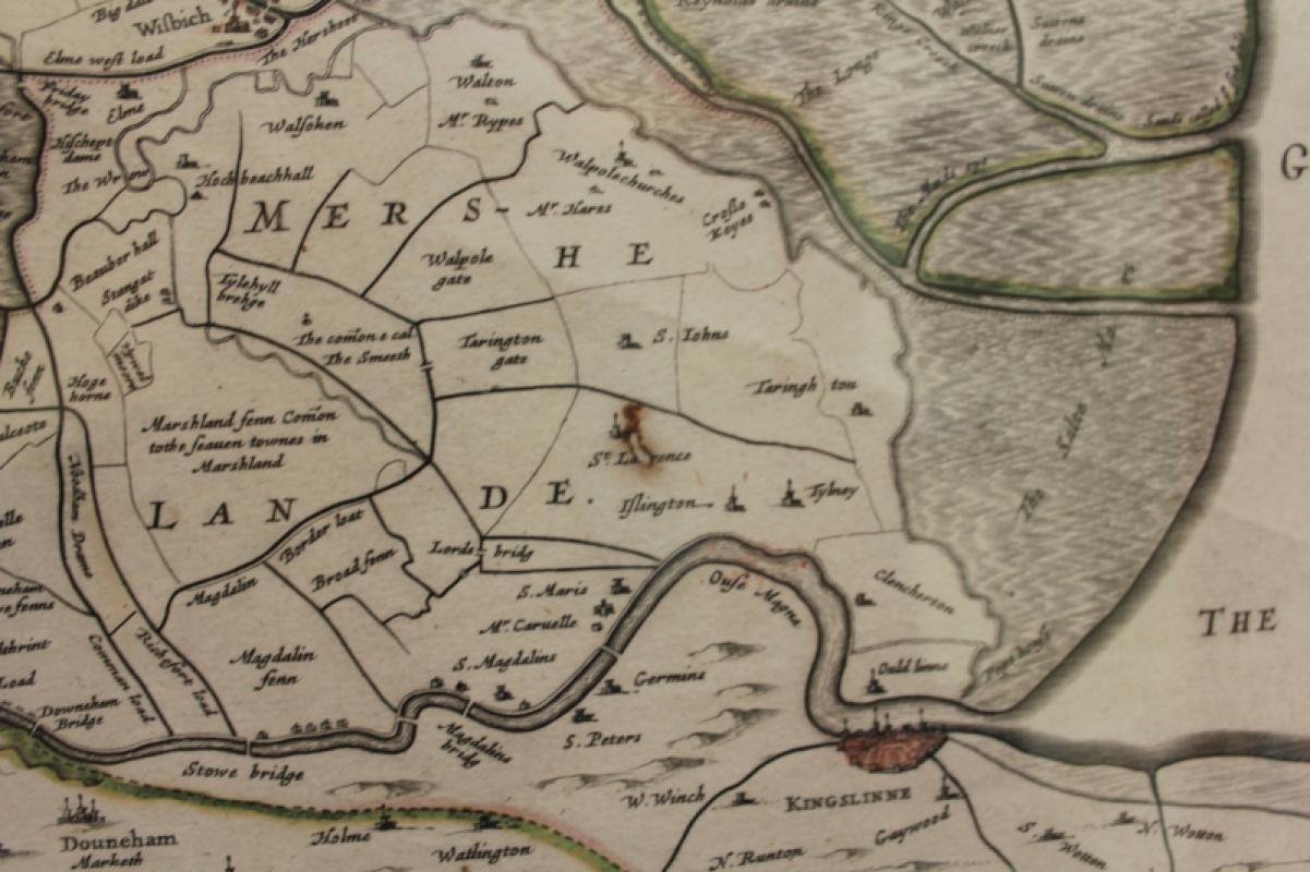
REGIONES INUNDATAE (Map of the Fens) #101588

Book Description
A very attractive, finely engraved and historically interesting 17th century map of Fens which was published by Joan Blaeu for his Atlas Maior (Amsterdam: 1664) and has the expected centre crease. The map is probably based on a now lost manuscript map by William Hayward and shows the Fens before they were drained by Cornelius Vermuyden in the 1650s. The map is orientated so North is pointing to the right. There is one very small hole, as seen. The map is mounted, framed and glazed. measures 56 x 44 cm approximately. 75 x 65cm framed.
Author
Joan Blaeu
Date
1664
Publisher
Joan Blaeu
Condition
Very Good
Other books
If you liked the book you've just seen, you might be interested in other books from the same dealer below.

Cecil Aldin's Painting Books Number 3: The Cat and...
Cecil Aldin
Lawrence and Jellicoe
£200.00
Offered by Sarah Key Books

The Tail of the Snuffley Snorty Dog #101412
Ernest Elmore
Collins
£275.00
Offered by Sarah Key Books
Florence Harrison: Original Art Work William Morri...
Florence Harrison
£395.00
Offered by Sarah Key Books


A View from Trinity Chapel, Cambridge. James Henr...
Richard Dighton
Richard Dighton
£80.00
Offered by Sarah Key Books
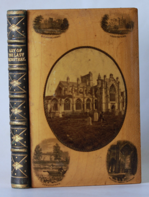
The Lay of the Last Minstrel
Sir Walter Scott
E. S. Livingstone, Edinburgh
£250.00
Offered by Sarah Key Books

Friends of the PBFA
For £10 get free entry to our fairs, updates from the PBFA and more.
Please email info@pbfa.org for more information