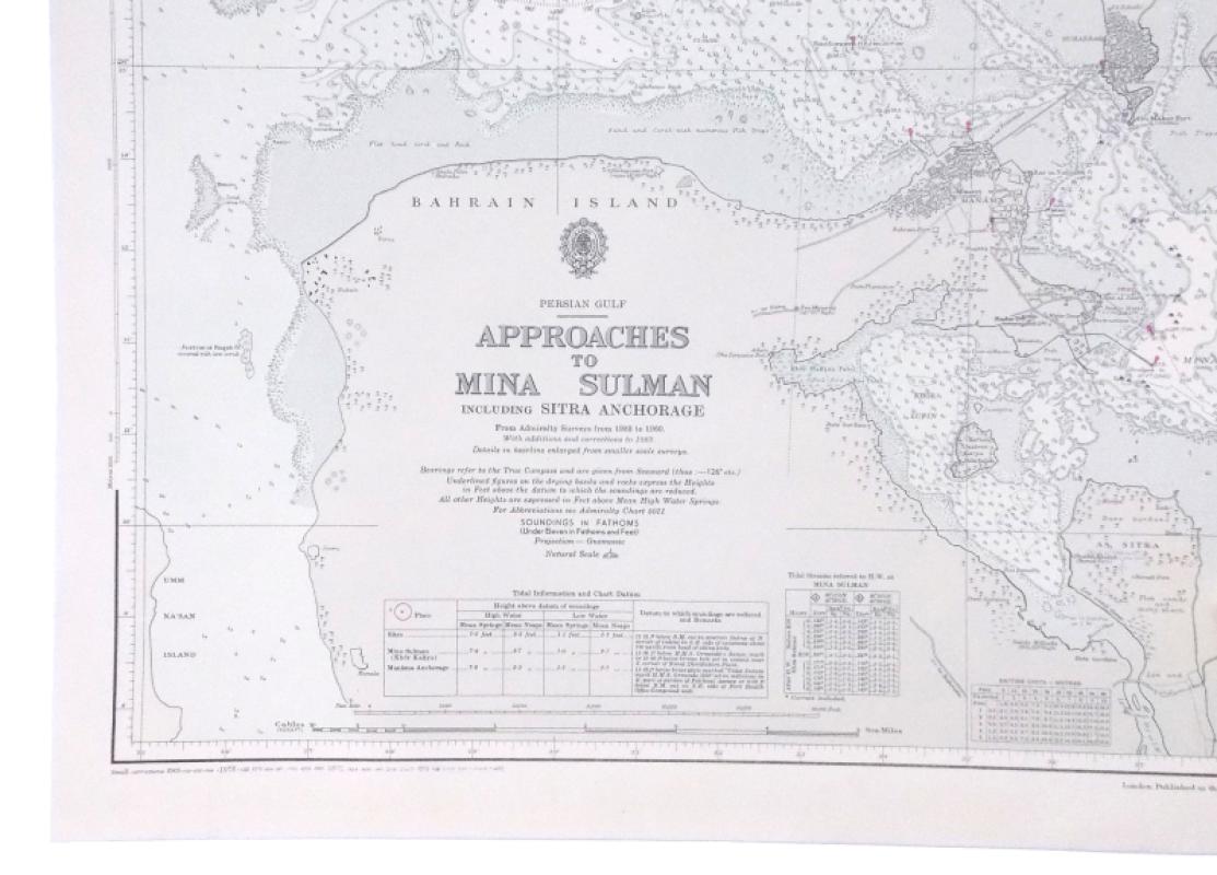
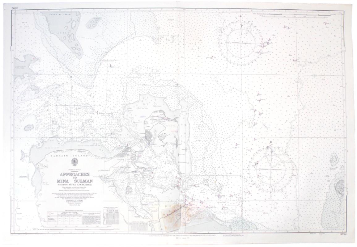
Persian Gulf. Approaches to Mina Sulman including Sitra Anchorage. From Admiralty Surveys from 1932 to 1960. With additions and corrections to 1969 [1973].
Book Description
Dealer Notes
Other books
If you liked the book you've just seen, you might be interested in other books from the same dealer below.
Memorials of Henry Douglas Freshfield.
[Freshfield, Douglas W. & Augusta Charlotte.]
Privately Printed
£225.00
Offered by Meridian Rare Books
The Gulistân or Rose Garden of Sa’di. Faithfully T...
[Burton, Richard Francis & F. F. Arbuthnot.]
Benares: Printed by the Kama Shastra Society for Private Subscribers only.
£375.00
Offered by Meridian Rare Books
The Ascent of Everest.
Hunt, John.
London: Hodder & Stoughton
£775.00
Offered by Meridian Rare Books
The Central Tian-Shan Mountains 1902-1903.
Merzbacher, Dr. Gottfried.
London: John Murray
£1500.00
Offered by Meridian Rare Books
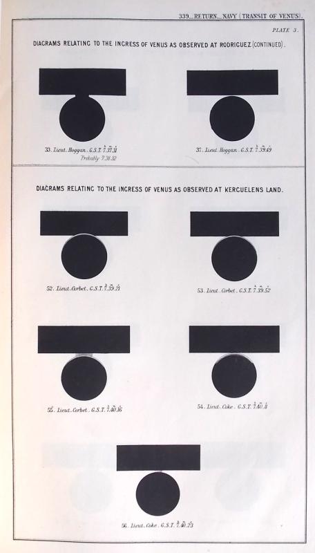
Copy “of the Report by the Astronomer Royal, Sir G...
Navy (Transit of Venus).
[London:] House of Commons
£150.00
Offered by Meridian Rare Books
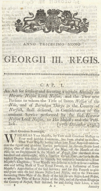
An Act for settling and securing a certain Annuity...
[Nelson.]
London: George Eyre and Andrew Strahan
£375.00
Offered by Meridian Rare Books
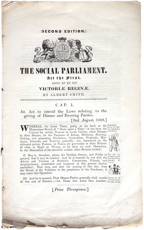
The Social Parliament. Act the First [Second]. Ann...
Smith, Albert.
[London: David Bogue]
£350.00
Offered by Meridian Rare Books

K2. The Savage Mountain.
Houston, Charles and Robert Bates.
London: Collins
£250.00
Offered by Meridian Rare Books
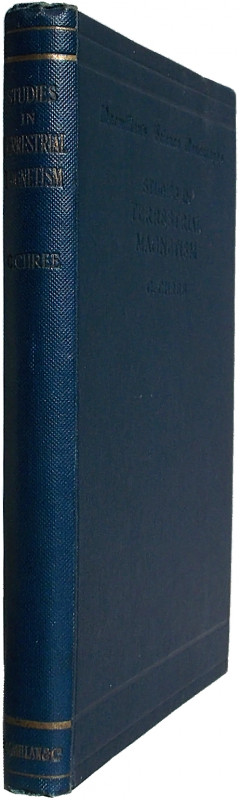
Studies in Terrestrial Magnetism.
Chree, Charles.
London: Macmillan and Co.
£125.00
Offered by Meridian Rare Books
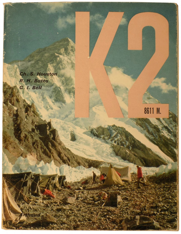
K2 8611M.
Houston, Charles S., Robert H. Bates & George I. Bell.
Paris: Arthaud
£250.00
Offered by Meridian Rare Books
Friends of the PBFA
Please email info@pbfa.org for more information