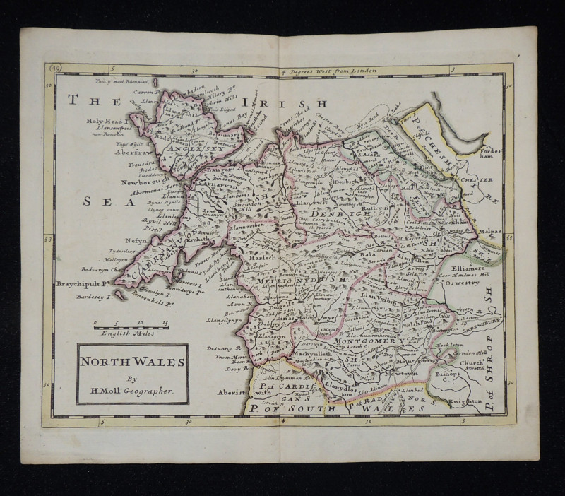
North Wales
Book Description
Other books
If you liked the book you've just seen, you might be interested in other books from the same dealer below.
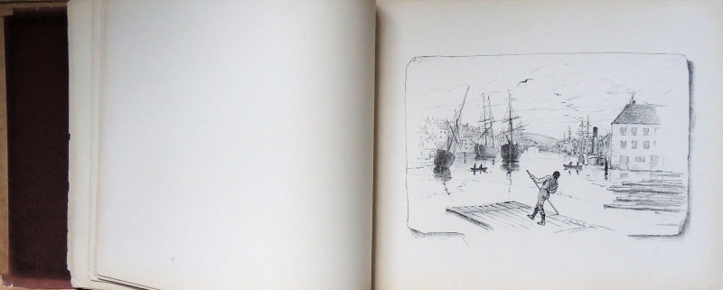
Sketches of Whitby, Drawn from Nature
Dinsdale, John
John Bailey, Darlington
£95.00
Offered by Paul Haynes Rare Books
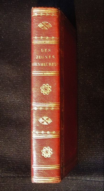
Les Jeunes Bienheureux
Carron, Guy-Toussaint-Julien (1760-1821)
Chez Louis Janet Libraire, successor de son pere
£150.00
Offered by Paul Haynes Rare Books
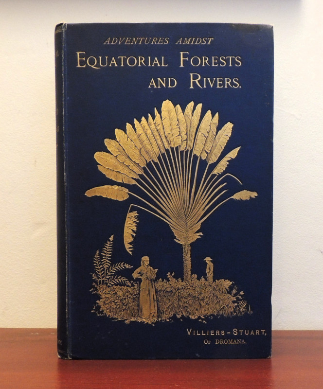
Adventures amidst the equatorial forests and river...
Villiers-Stuart of Dromona
John Murray
£125.00
Offered by Paul Haynes Rare Books
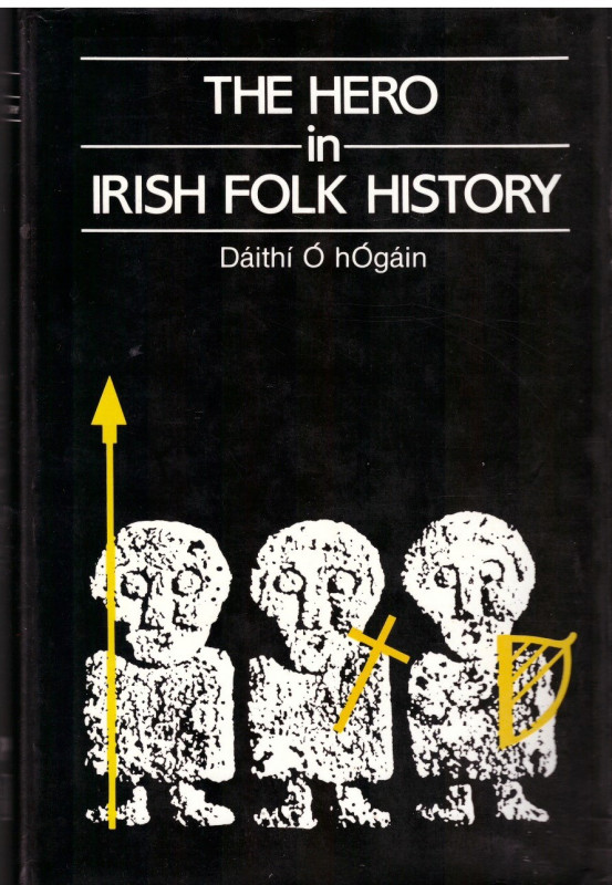
The Hero in Irish Folk History
O hOgain, Daithi
Gill and MacMillan, Dublin
£40.00
Offered by Paul Haynes Rare Books

Observations on the River Wye, and Several parts o...
William Gilpin
Printed by A. Strahan for T. Cadell and W. Davies, Strand
£30.00
Offered by Paul Haynes Rare Books
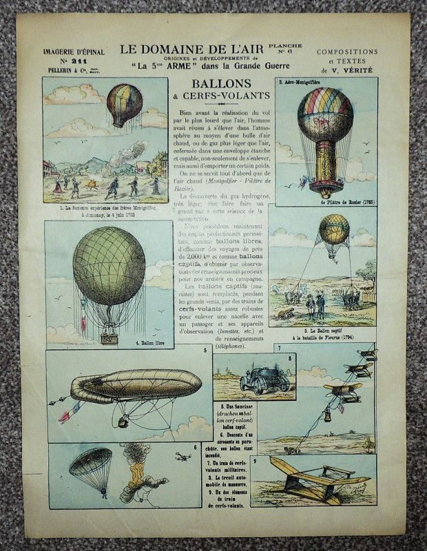
Le Domaine de L'Air. Ballons et Cerfs-Volants
Imagerie d'Epinal, Pellerin et Cie
Pellerin et Cie
£25.00
Offered by Paul Haynes Rare Books
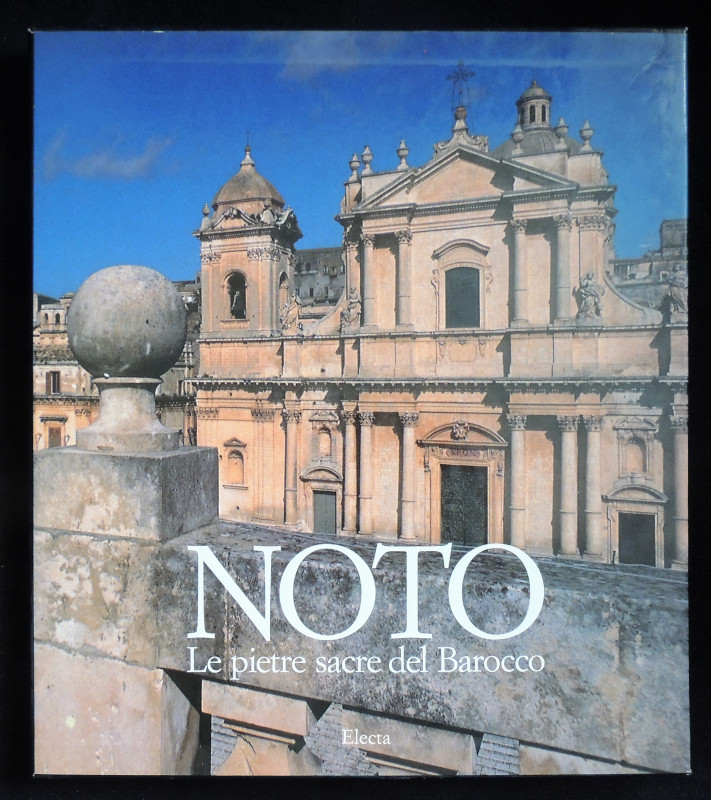
Noto. Le pietre sacre del Barocco
Corrado Sofia
Electa, Milan
£35.00
Offered by Paul Haynes Rare Books
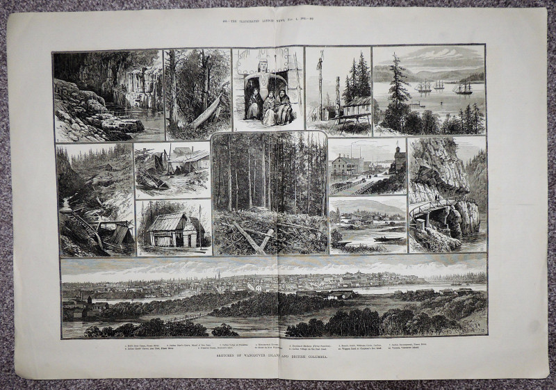
Sketches of Vancouver Island and British Columbia
Illustrated London News
Illustrated London News
£15.00
Offered by Paul Haynes Rare Books
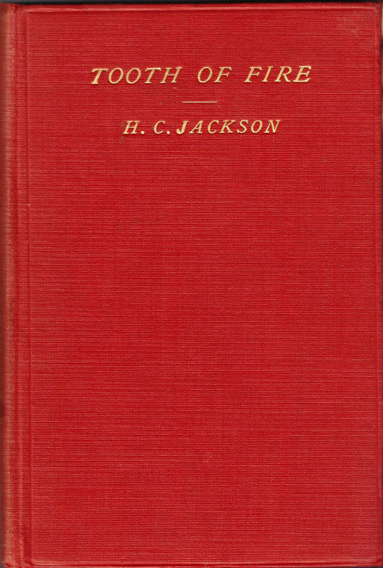
Tooth of Fire. Being some account of the ancient K...
Jackson, H. C.
B. H. Blackwell, Oxford. Simkin Marshall, London
£85.00
Offered by Paul Haynes Rare Books
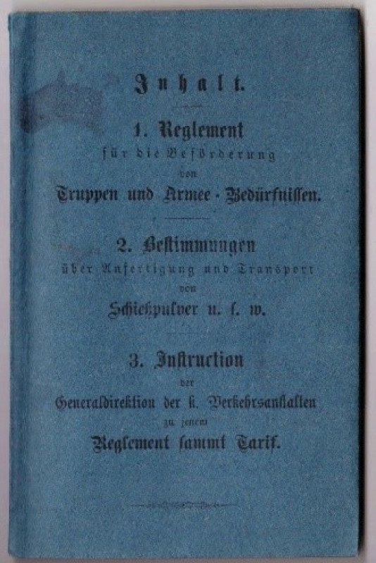
Reglement für die Beförderung von Truppen und Arm...
-
J. Gotteswinter & Mößl [Mossl] in Munchen
£75.00
Offered by Paul Haynes Rare Books
Friends of the PBFA
Please email info@pbfa.org for more information