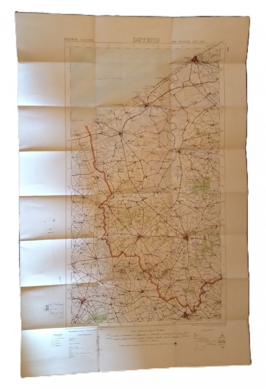
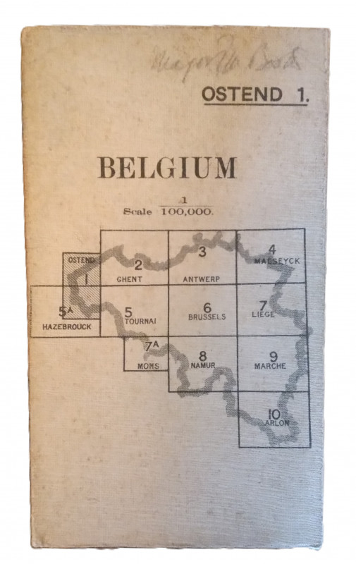
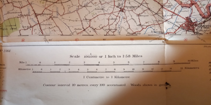
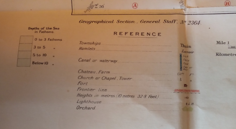
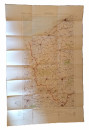
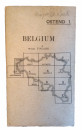
Map of Ostend Region, Belguim


Book Description
Other books
If you liked the book you've just seen, you might be interested in other books from the same dealer below.
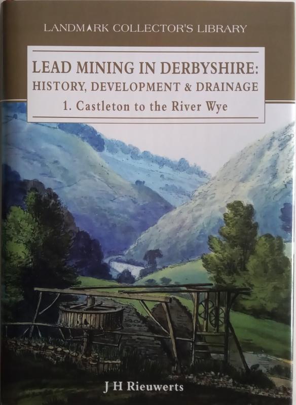
Lead Mining in Derbyshire: History, Development &...
J. H. Rieuwerts
Landmark
£40.00
Offered by The Book House
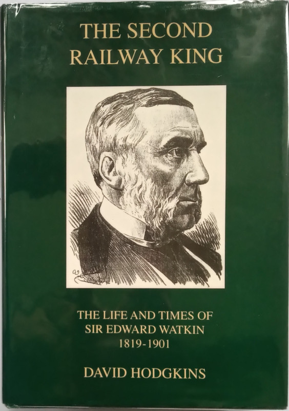
The Second Railway King - The Life and Times of Si...
Hodgkins, David
Merton Priory Press
£20.00
Offered by The Book House
Lincolnshire Houses
Thorold, Henry:
Michael Russell (Publishing) Ltd, Wilby Hall, Wilby, Norwich
£18.00
Offered by The Book House
Armstrongs of Elswick - Growth in Engineering and...
Kenneth Warren
Macmillan in association with the Business History Unit, University of London
£35.00
Offered by The Book House
The Ironstone Quarries of the Midlands. History, O...
Eric Tonks
Runpast Publishing, Cheltenham
£20.00
Offered by The Book House
History of Sapcote, in the County of Leicester
Rev. Henry Whiteley
J. R. Rowe, Leicester
£35.00
Offered by The Book House
The Life and Death of a Quicksilver Mine
Helen Rocca Goss
The Historical Society of Southern California
£25.00
Offered by The Book House
The Search for Silver: Cornish Miners in Mexico 1...
Todd, A. C:
The Lodenek Press, Padstow, Cornwall
£45.00
Offered by The Book House
The Yorkshire and Lancashire Lead Mines - A Study...
M. C. Gill
Northern Mine Research Society
£18.00
Offered by The Book House
Friends of the PBFA
Please email info@pbfa.org for more information