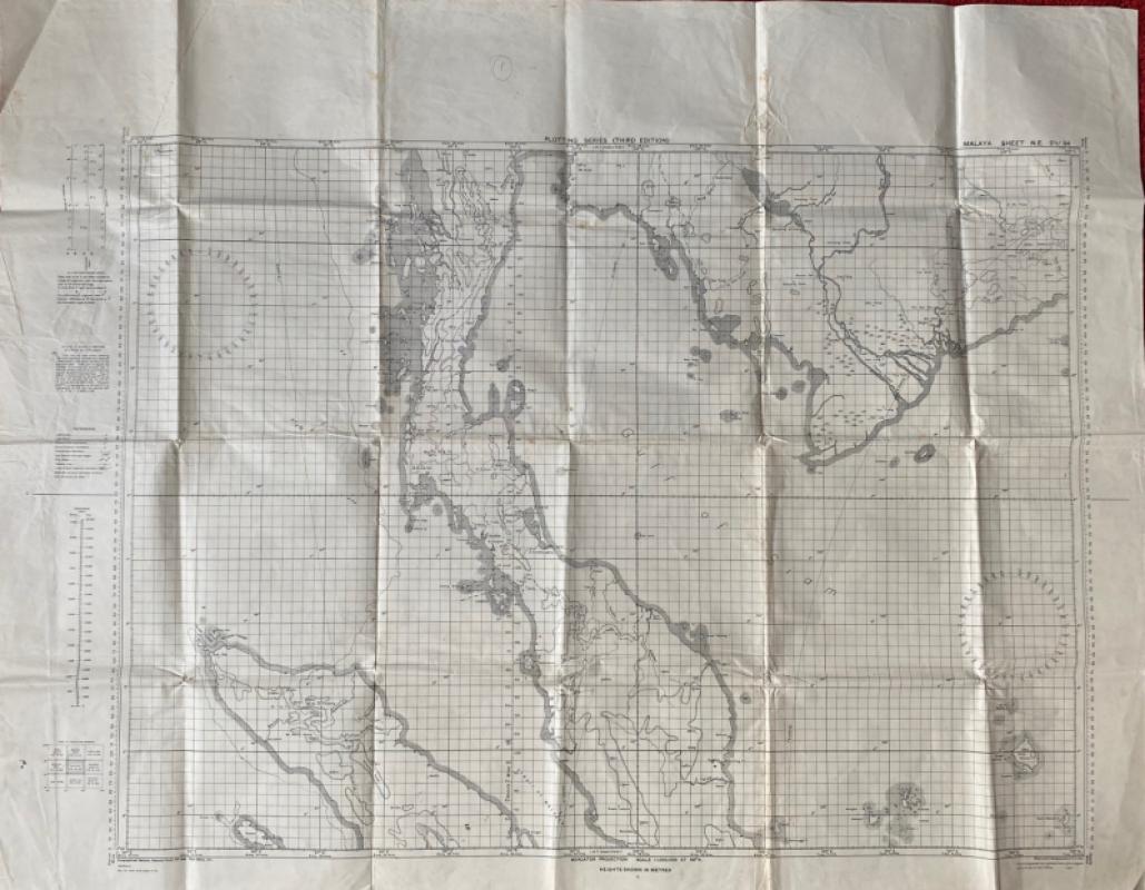
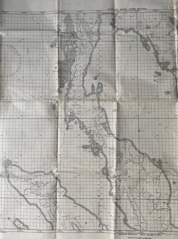
Map of Malaya with parts of Sumatra and Thailand 1942
Book Description
Map of Malaya with parts of Sumatra and Thailand. RAF Long Range Plotting Chart. On paper size 112 by 85 cm. Coded Malaya Sheet NE 2 ½ 94. Scale 1:1,000,000. Published by the British General Staff for use by the RAF 1941 and printed at the Survey of India Office Calcutta 1942. Covers an area of Malaya south from the Burmese border and Tavey and King Islands to Port Dickson and Toiman and Permanggil Islands. A key provides information on features including towns of various sizes, lighthouses and lightships, tide races, fathom lines and international boundaries. Heights shown with contours and spot heights. Shows towns and rivers. Has been folded.
Author
British General Staff
Date
1942
Publisher
British General Staff
Condition
Good
Other books
If you liked the book you've just seen, you might be interested in other books from the same dealer below.
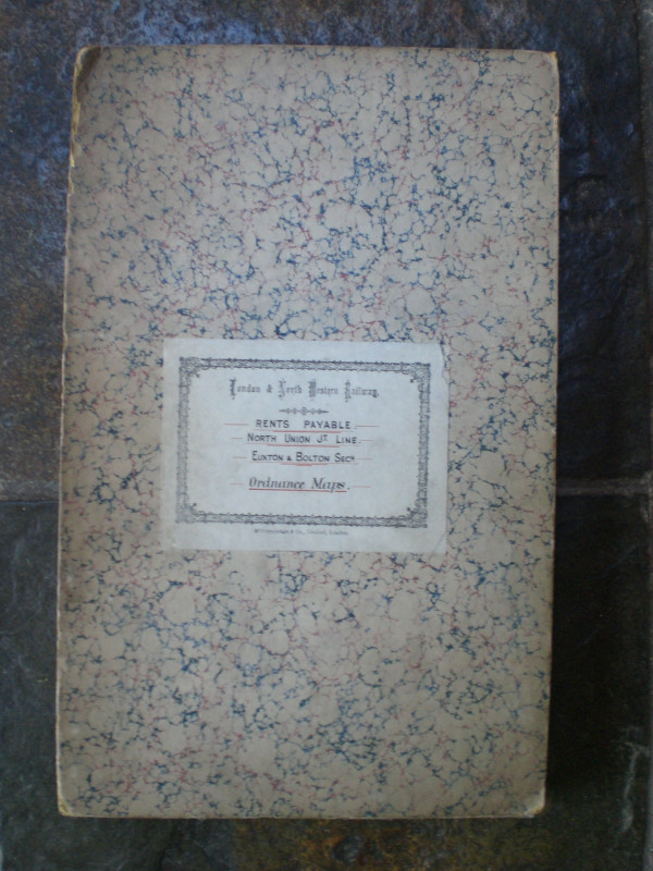
London and North Western Railway: Bolton and Chorl...
LNWR
London and North Western Railway
£145.00
Offered by Arthur Hook
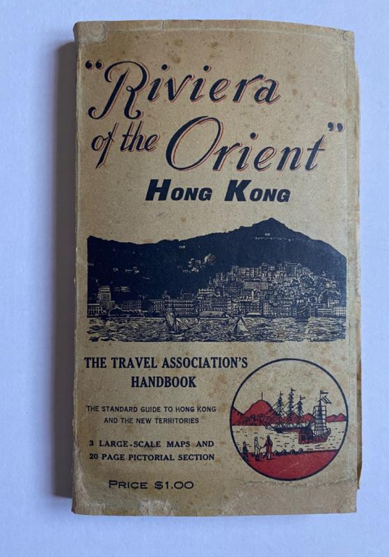
Hong Kong Riviera of the Orient
Hong Kong Travel Association
Hong Kong Travel Association
£775.00
Offered by Arthur Hook
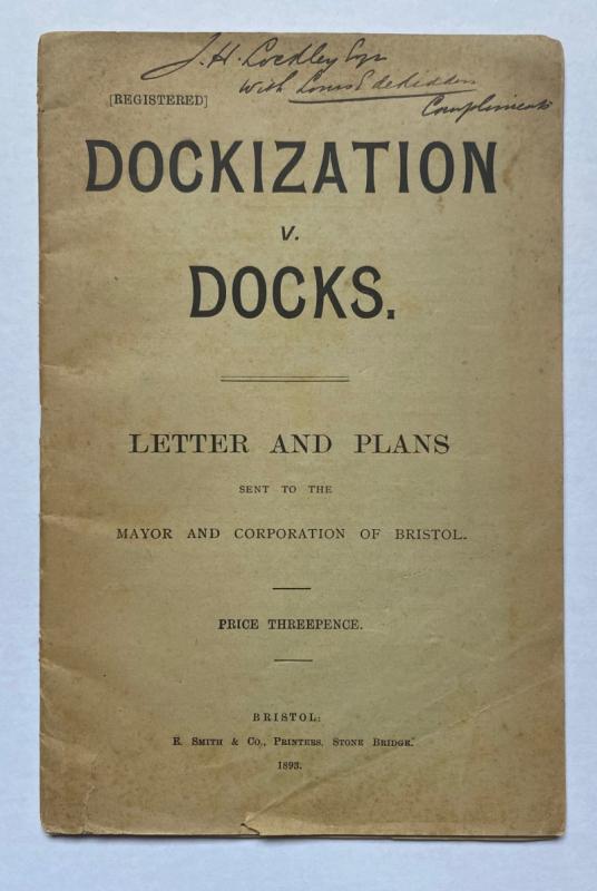
Dockization versus Docks, Letters and Plans sent t...
de Ridder
de Ridder
£30.00
Offered by Arthur Hook
Friends of the PBFA
For £10 get free entry to our fairs, updates from the PBFA and more.
Please email info@pbfa.org for more information