[MAP] Ireland Divided into Provinces and Counties
Book Description
Very attractive small map of Ireland, hand-coloured in outline, published by J. Wyld January 1st 1825. Dimensions 14cm x 19cm.
Author
N/A
Date
1825
Binding
No Binding
Condition
Very Good
Other books
If you liked the book you've just seen, you might be interested in other books from the same dealer below.

The Rudiments of Architecture, Practical and Theor...
Joseph Gwilt
Priestley and Wheale
£150.00
Offered by Celsus Books
A treatise on landscape painting and effect in wat...
David Cox
J. Tyler
£420.00
Offered by Celsus Books
Topographical and statistical description of the c...
COOKE, George Alexander.
London: Printed for C. Cooke . by Brimmer and Co. ., [1810?].
£150.00
Offered by Celsus Books
Traite de l excellence du mariage [marriage]; de s...
Chausse A.
Amsterdam: chez Abraham Wolfgangh, MDCLXXXV.
£420.00
Offered by Celsus Books
The Amateur's Greenhouse and Conservatory; a Handy...
Hibberd, Shirley
Groombridge and Sons
£85.00
Offered by Celsus Books
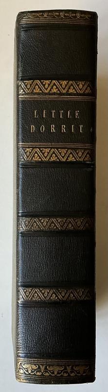
Little Dorrit, with illustrations by H. K. Browne
DICKENS, Charles.
London: Bradbury & Evans
£400.00
Offered by Celsus Books
The new weeks preparation for a worthy receiving o...
N/A
By Thomas Wilson, and Son, York,
£75.00
Offered by Celsus Books
Friends of the PBFA
For £10 get free entry to our fairs, updates from the PBFA and more.
Please email info@pbfa.org for more information