Map: Corea & Japan
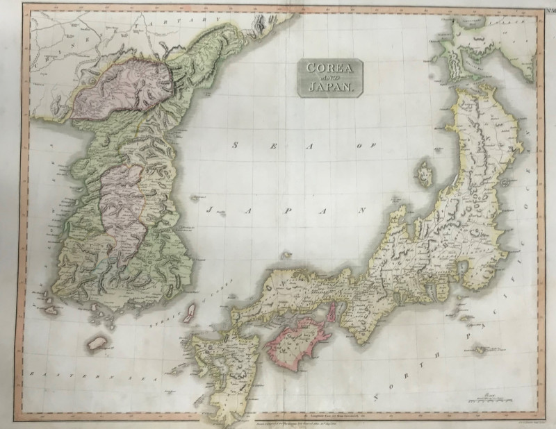
Book Description
Dealer Notes
Other books
If you liked the book you've just seen, you might be interested in other books from the same dealer below.
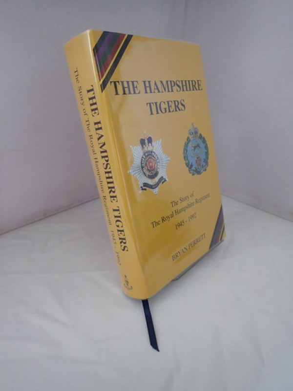
Flying Traiing and Support Units Since 1912
STURTIVANT, Ray
Air-Britain Publication
£45.00
Offered by Yatton Books & Prints
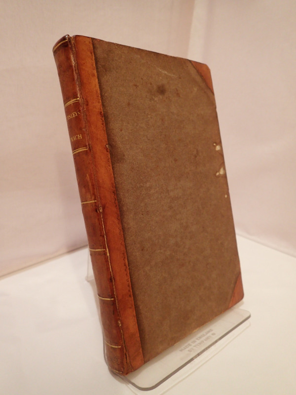
Substance of the Speech of Sir John Cox Hippisley,...
HIPPISLEY, John Cox
John Murray
£80.00
Offered by Yatton Books & Prints
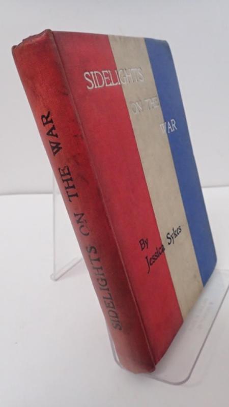
Sidelights of the War in South Africa Being Sketch...
SYKES, Jessica (Lady)
T Fisher Unwin
£95.00
Offered by Yatton Books & Prints
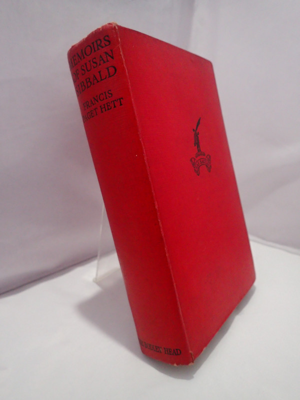
The Memoirs of Susan Sibbald (1783-1812)
PAGET HETT, Francis (ed)
John Lane
£24.00
Offered by Yatton Books & Prints
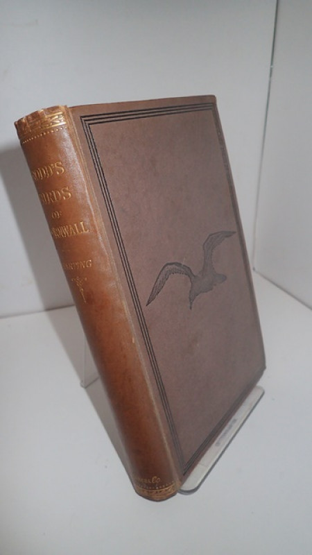
The Birds of Cornwall and the Scilly Islands Edite...
RODD, Edward Hearle & HARTING, James Edmund (ed)
Trubner & Co, London
£50.00
Offered by Yatton Books & Prints
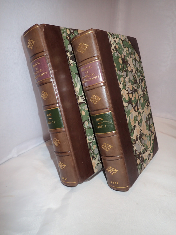
A Manual of Classical Bibliograhy
MOSS, Joseph William
Henry G Bohn
£215.00
Offered by Yatton Books & Prints
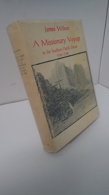
A Missionary Voyage to the Southern Pacific Ocean...
WILSON, James
Frederick A Praeger, New York
£30.00
Offered by Yatton Books & Prints
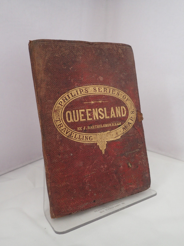
Philips Series of Travelling Maps, No 3: Queenslan...
BARTHOLOMEW, John
George Philip & Son
£140.00
Offered by Yatton Books & Prints

The Longest Way Round: A Brogeen Story
LYNCH, Patricia
Burke
£60.00
Offered by Yatton Books & Prints
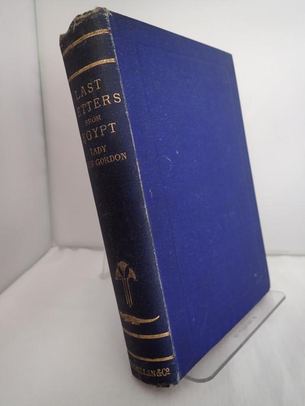
Last Letters from Egypt to which are added Letters...
GORDON, Lady Duff
Macmillan and Co
£95.00
Offered by Yatton Books & Prints
Friends of the PBFA
Please email info@pbfa.org for more information