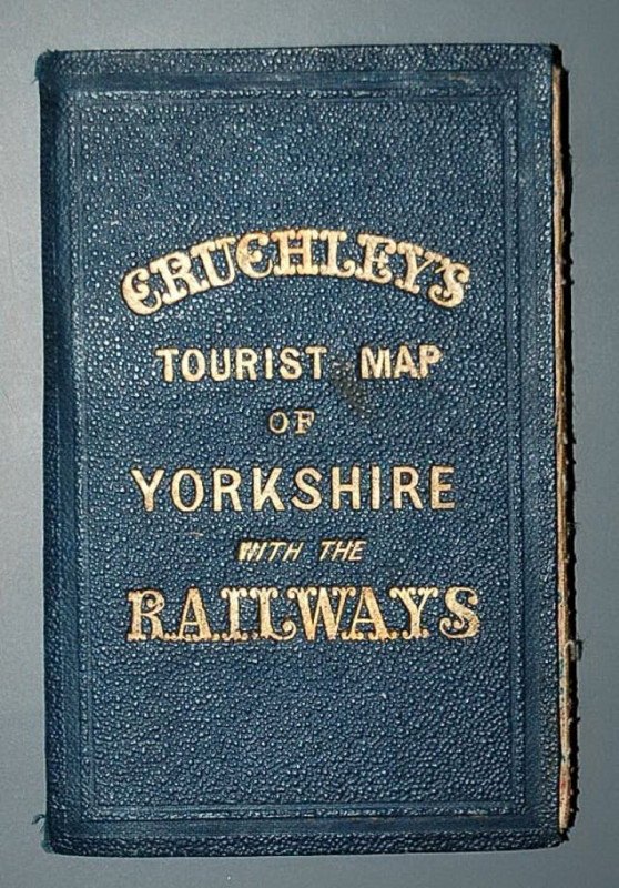
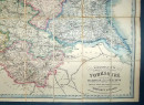
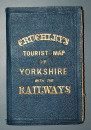
Cruchley’s Railway and Station Map of Yorkshire, Showing all the Railways & Names of Stations, also the Turnpike Roads, Gentlemen’s Seats, &c. &c. Improved from the Ordnance Surveys.

Book Description
Other books
If you liked the book you've just seen, you might be interested in other books from the same dealer below.
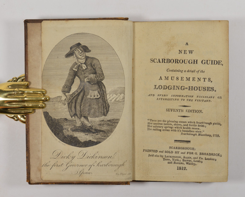
A New Scarborough Guide, Containing details of the...
SCARBOROUGH.
Scarborough:
£295.00
Offered by Forest Books
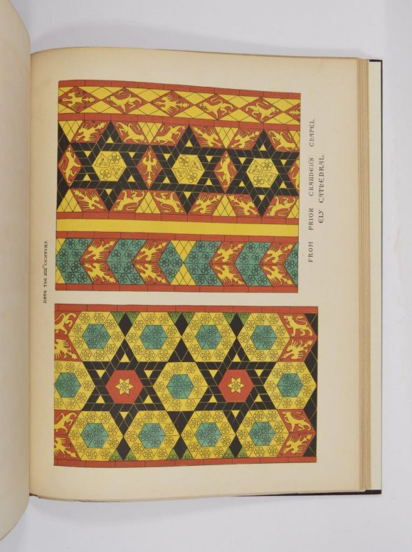
Specimens of Tile Pavements Drawn from Existing Au...
SHAW (Henry)
London: Basil M. Pickering,
£525.00
Offered by Forest Books
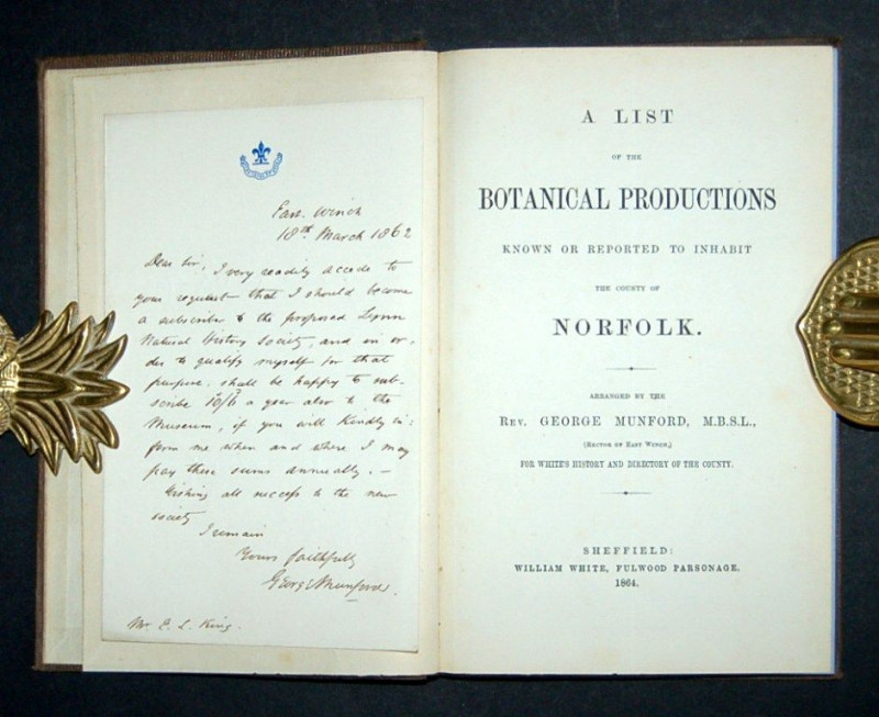
A List of the Botanical Productions Known or Repor...
MUNFORD (Rev. George)
Sheffield: William White,
£275.00
Offered by Forest Books
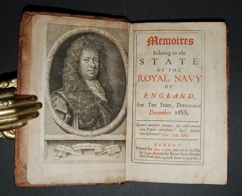
Memoires Relating to the State of the Royal Navy o...
PEPYS (Samuel)
London: Printed for Ben. Griffin, and are to sold by Sam. Keble,
£2000.00
Offered by Forest Books
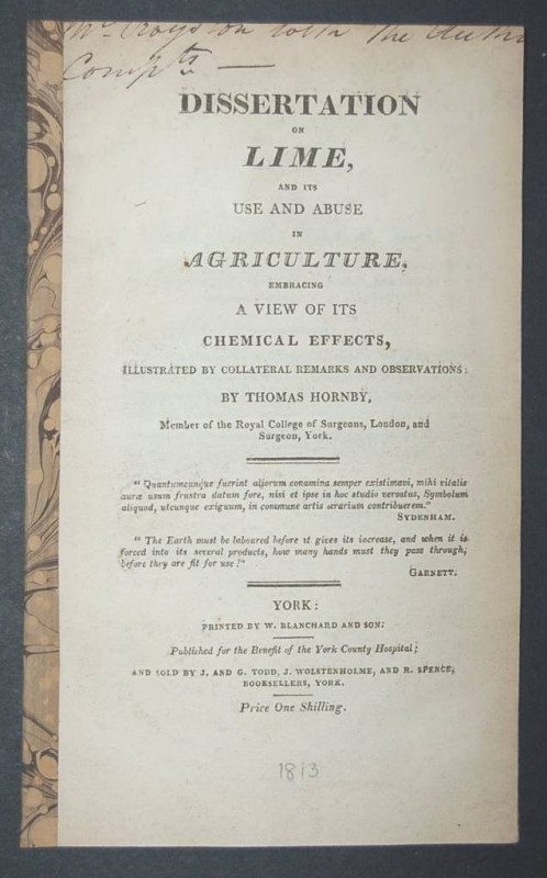
Dissertation on Lime, and its use and abuse in Agr...
HORNBY (Thomas)
York: Printed by W. Blanchard and Son, for the Benefit of the York County Hospital,
£175.00
Offered by Forest Books
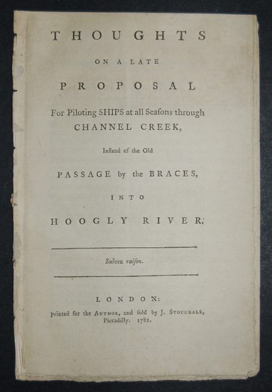
Thoughts on a Late Proposal for Piloting Ships at...
[LACAM (Benjamin)]
Printed for the Author,
£545.00
Offered by Forest Books
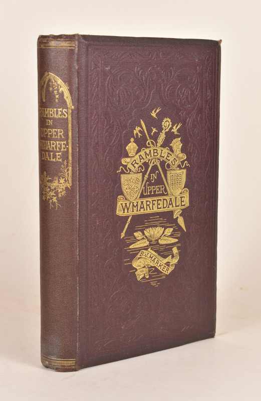
Rambles in Upper Wharfedale; Including the Histori...
HARKER (B[ailey] J[ohn])
Skipton: Edmondson & Co.,
£110.00
Offered by Forest Books
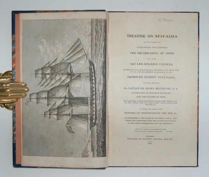
Treatise on Stay-Sails for the Purpose of Intercep...
HEATHCOTE (Captain Sir Henry)
London: Published by Baldwin, Cradock, and Joy,
£375.00
Offered by Forest Books
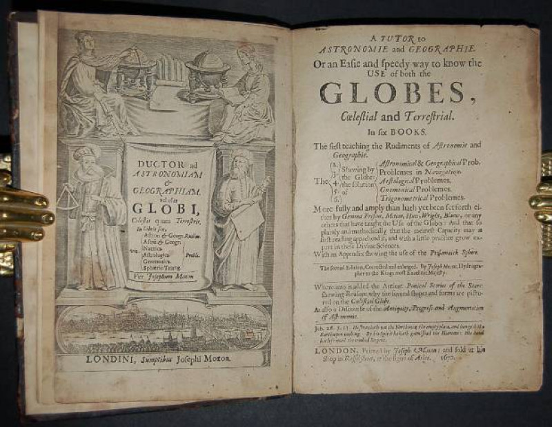
A Tutor to Astronomie and Geographie. Or an easie...
MOXON (Joseph)
London: Printed by Joesph Moxon,
£695.00
Offered by Forest Books
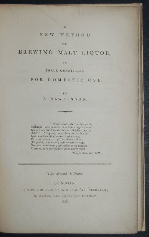
A New Method of Brewing Malt Liquor, in Small Quan...
RAWLINSON (J.)
London: Printed for J. Johnson,
£265.00
Offered by Forest Books
Friends of the PBFA
Please email info@pbfa.org for more information