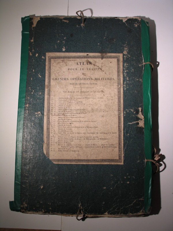
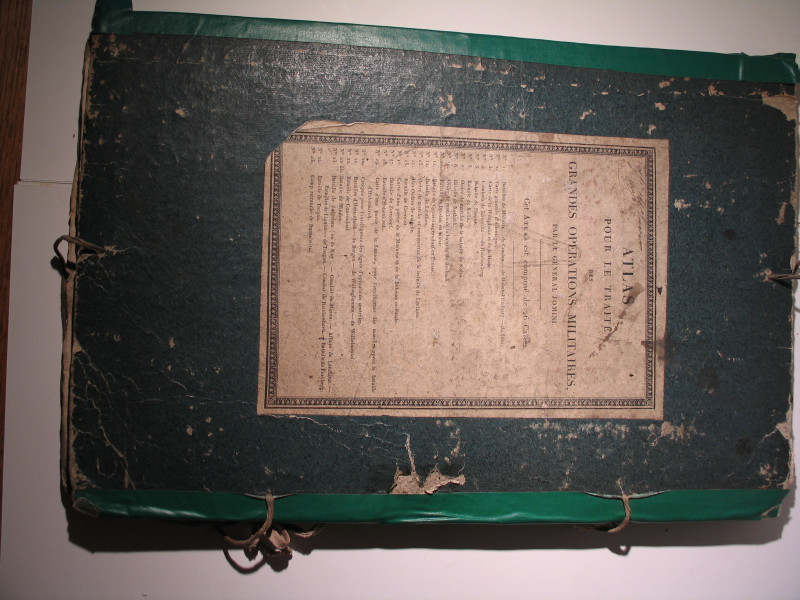
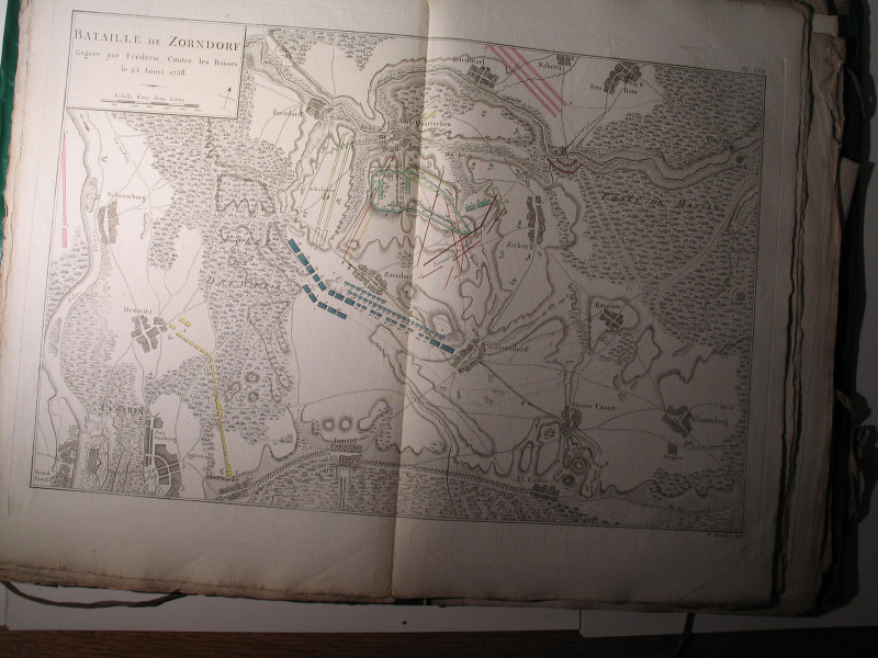
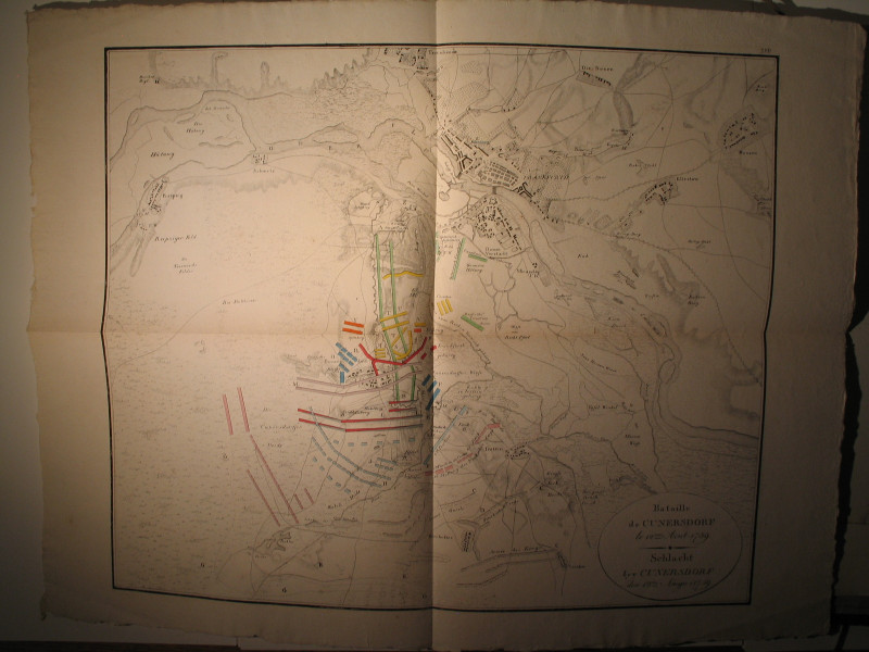
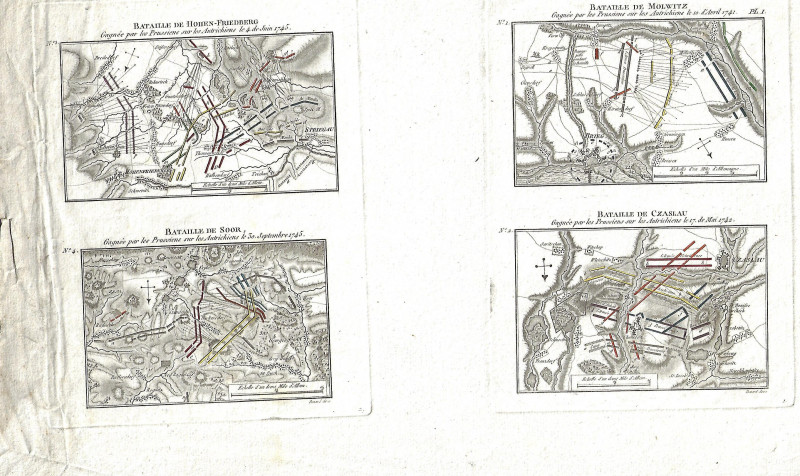
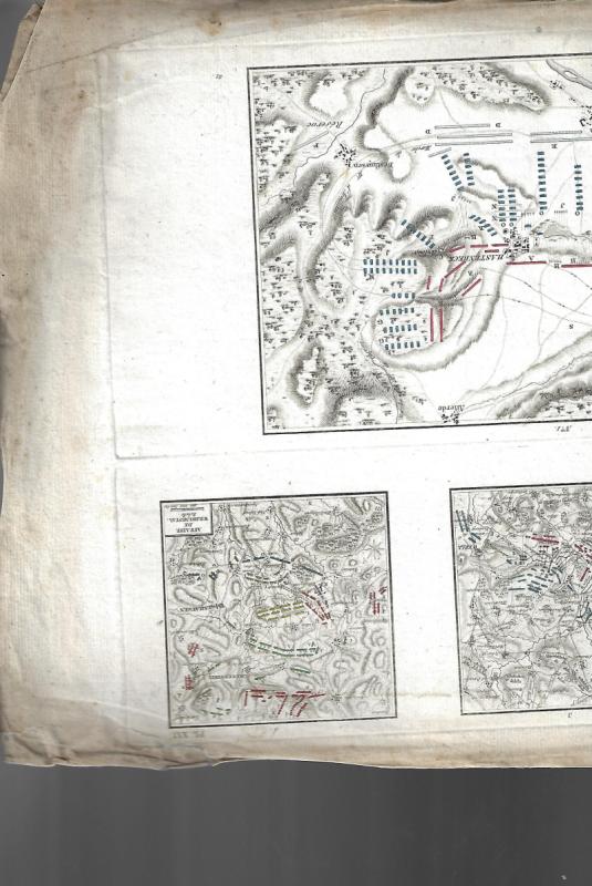
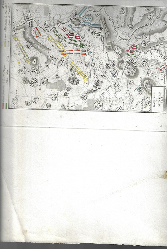
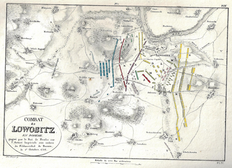
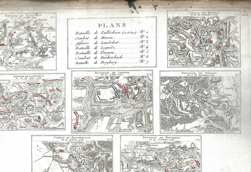
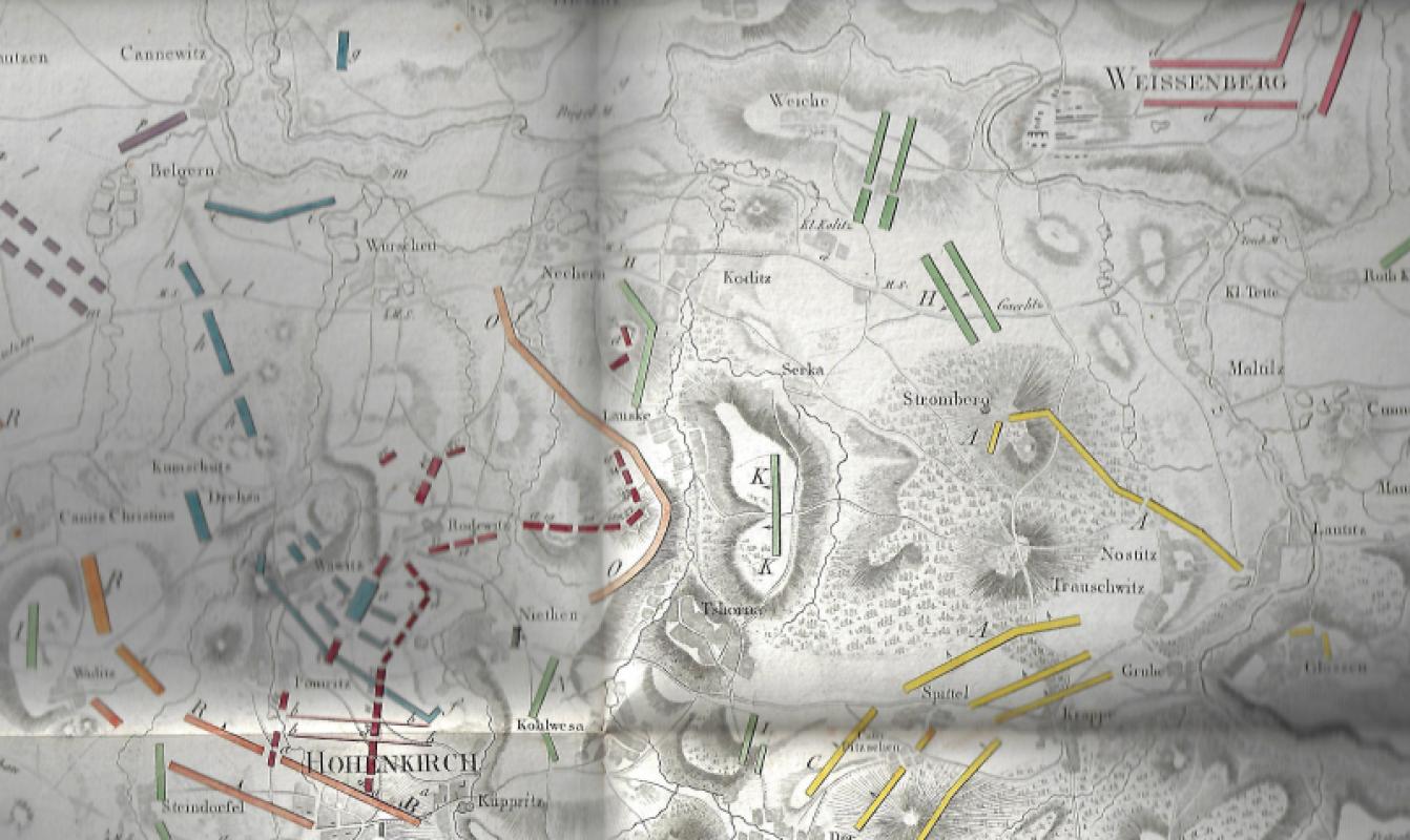
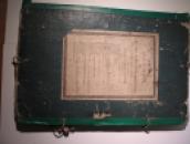
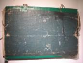
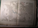
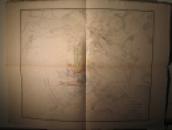
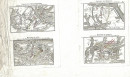
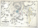
Atlas Pour Le Traite Des Grandes Operations Militaires
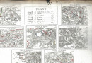
Book Description
Dealer Notes
Other books
If you liked the book you've just seen, you might be interested in other books from the same dealer below.
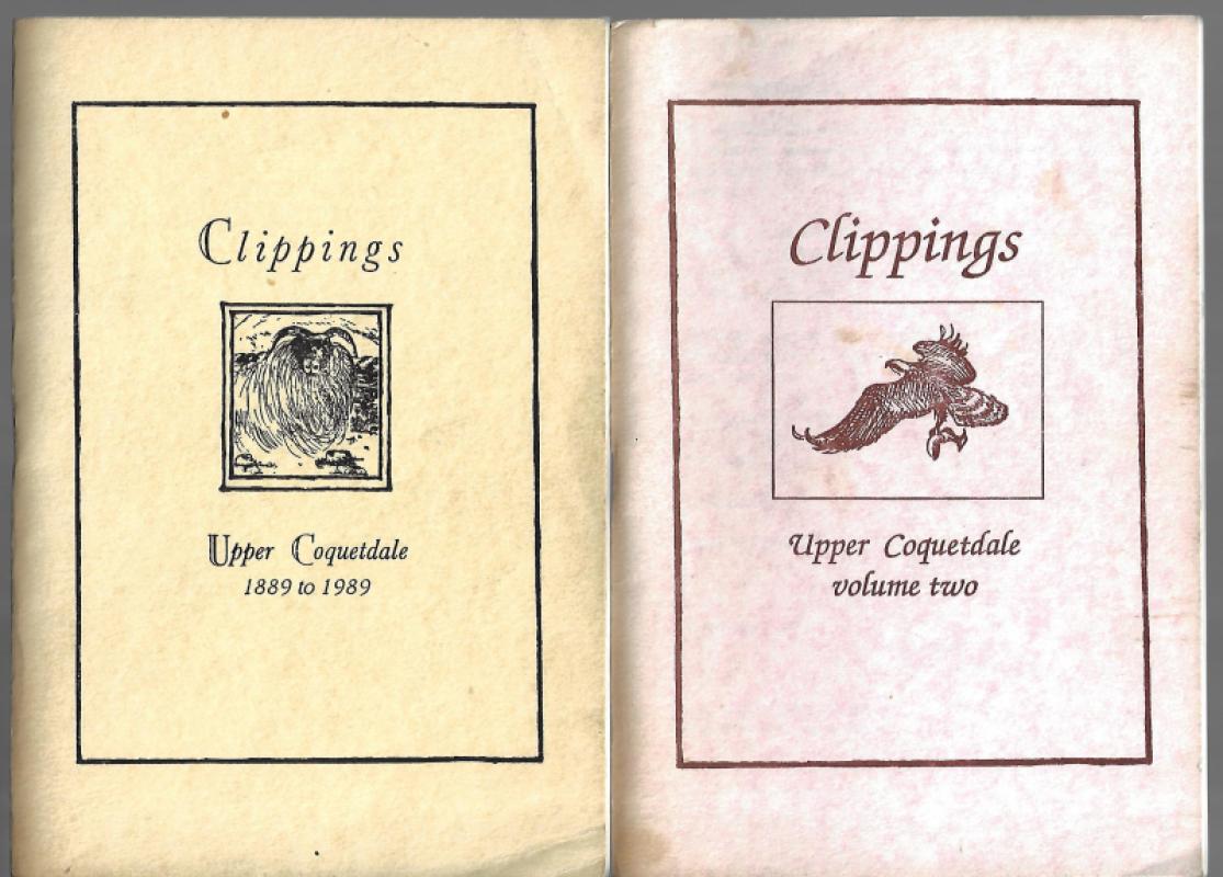
Clippings Upper Coquetdale
----
Upper Coquetdale Publications
£160.00
Offered by Jane & John Kinnaird
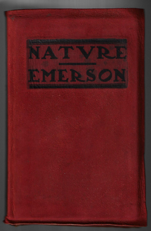
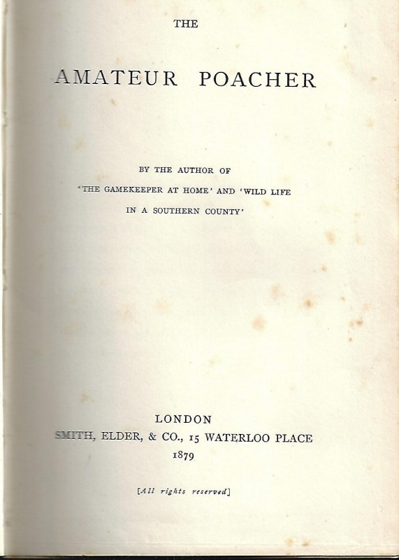
The Amateur Poacher.
Jefferies, Richard.
Smith, Elder, London.
£50.00
Offered by Jane & John Kinnaird
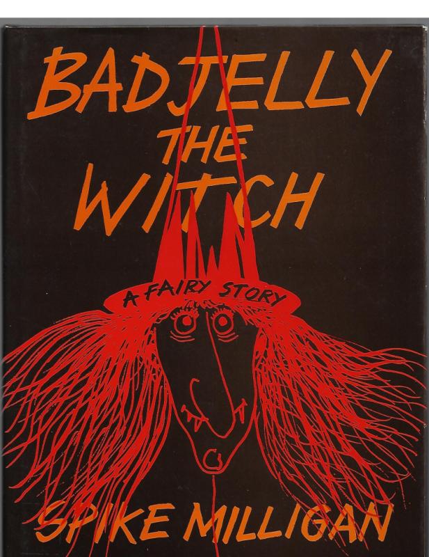
Badjelly The Witch A Fairy Story.
Milligan, Spike
M & J Hobbs in association with Michael Joseph.
£100.00
Offered by Jane & John Kinnaird
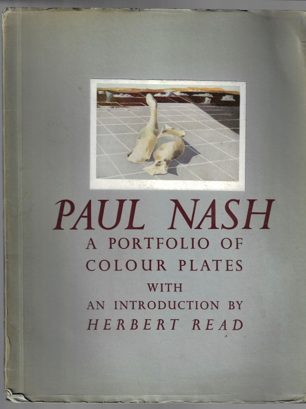
Paul Nash A Portfolio Of Colour Plates
Nash, Paul. Read, Herbert (introduction by)
Soho Gallery Limited
£50.00
Offered by Jane & John Kinnaird
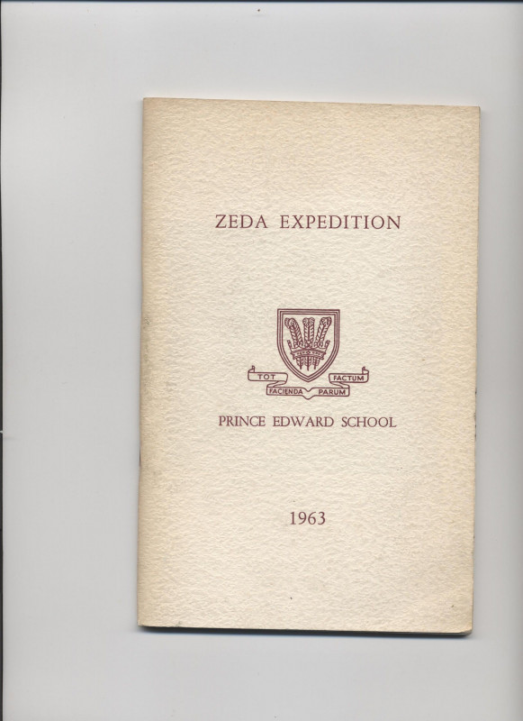
Zeda Expedition. Prince Edward School. 1963.
Published for Prince Edward School, Salisbury, Rhodesia.
£15.00
Offered by Jane & John Kinnaird
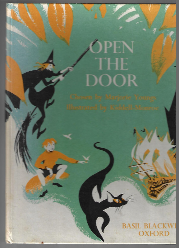
Open The Door
Youngs, Marjorie (chosen by) & Kiddell-Monroe (illustrated by)
Basil Blackwell, Oxford
£50.00
Offered by Jane & John Kinnaird
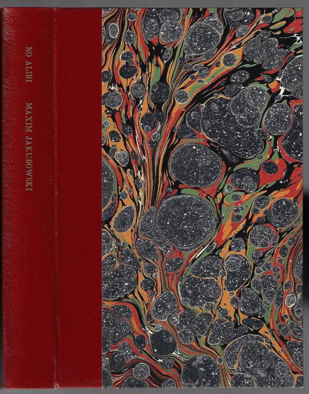
No Alibi A Celebration of Crime Writing
Jakubowski, Maxim (edited by)
Scorpion Press, Blakeney
£450.00
Offered by Jane & John Kinnaird
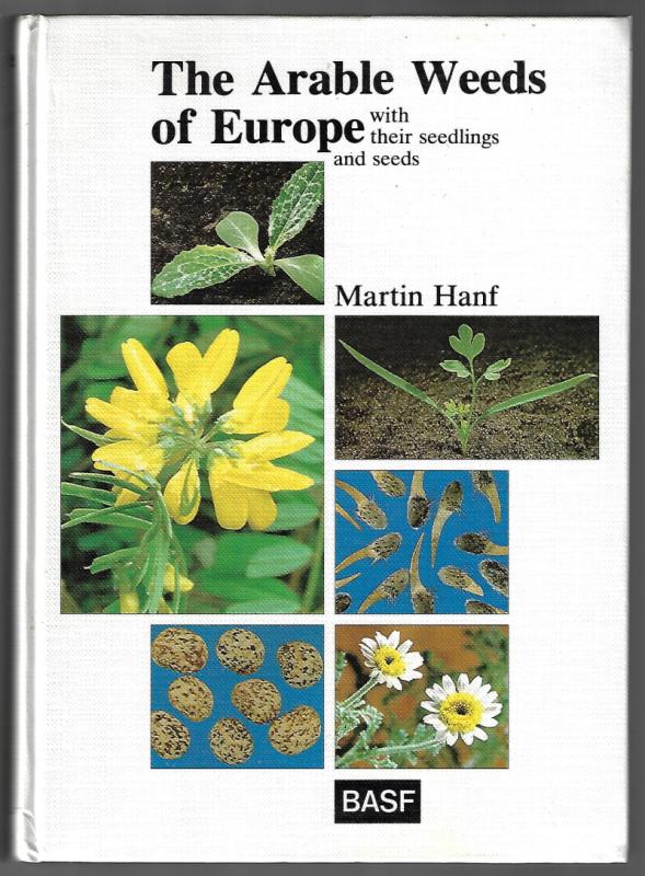
The Arable Weeds Of Europe with their seedlings an...
Hanf, Martin.
BASF
£60.00
Offered by Jane & John Kinnaird
Friends of the PBFA
Please email info@pbfa.org for more information