A NEW MAP OF SCOTLAND FROM THE LATEST AUTHORITIES By John Cary Engraver 1801
Book Description
Other books
If you liked the book you've just seen, you might be interested in other books from the same dealer below.

The Amateur's Greenhouse and Conservatory; a Handy...
Hibberd, Shirley
Groombridge and Sons
£85.00
Offered by Celsus Books
The Romish mass-book with notes and observations
N/A
Printed by George Larkin for Thomas Malthus at the Sun in the Poultry, 1683.
£300.00
Offered by Celsus Books
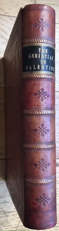
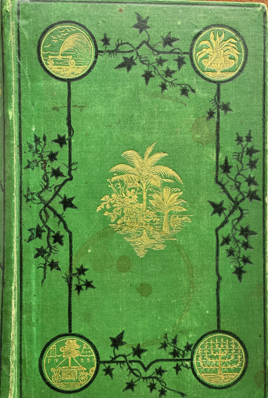
The Christian in Palestine; or, Scenes of Sacred H...
STEBBING, Henry; BARTLETT, W. H.
London: George Virtue.
£245.00
Offered by Celsus Books
The Parks, Promenades & Gardens of Paris Described...
Robinson, W., F.L.S.
London: John Murray.
£95.00
Offered by Celsus Books
Between the Danube and the Black Sea or five years...
BARKLEY, H.
London: John Murray.
£150.00
Offered by Celsus Books
The Descent of Man, and Selection in Relation to S...
DARWIN, Charles
John Murray, Albermarle Street.
£180.00
Offered by Celsus Books
Poesies Françoises de M. l Abbe Regnier Desmarais....
REGNIER DESMARAIS, M. l Abbe
A la Haye; Henri du Sauzet, Den Haag, MDCCXVI
£150.00
Offered by Celsus Books
Wybor z Basnictwi Ceskeho. Cheskian Anthology: bei...
BOWRING, John
London: Rowland Hunter 1832
£150.00
Offered by Celsus Books
Friends of the PBFA
Please email info@pbfa.org for more information