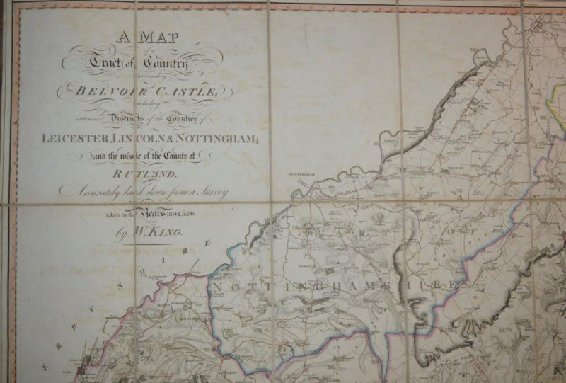
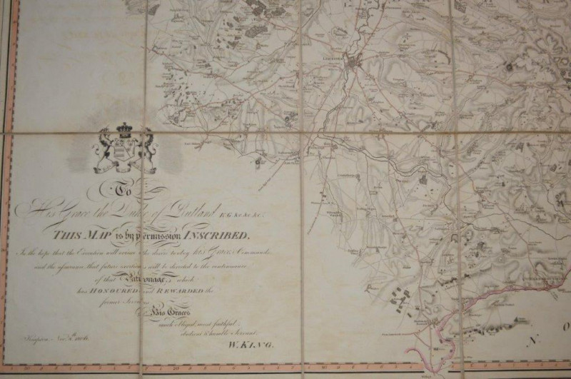
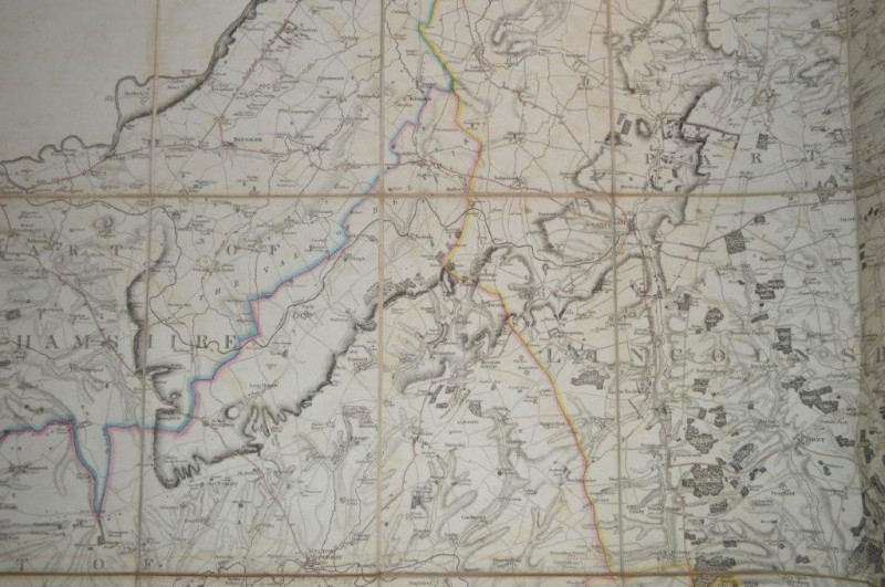
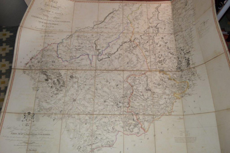
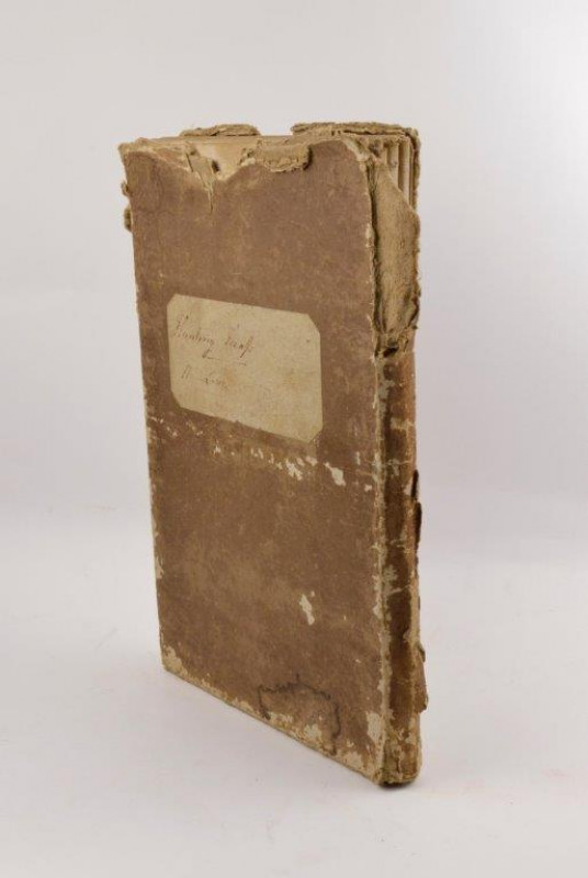
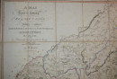
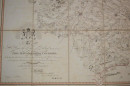
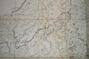
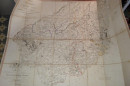
A Map of a Tract of Country Surrounding Belvoir Castle; Including Extensive Districts of the Counties of Leicester, Lincoln & Nottingham; and the whole of the County of Rutland. Accurately laid down from a Survey taken in the Years 1804.5.&6. by W. King.
Book Description
Dealer Notes
Other books
If you liked the book you've just seen, you might be interested in other books from the same dealer below.

Proposed plan for 21 houses intended to be erected...
ARCHITECTURAL PLANS. CHATBURN, NEAR CLITHEROE, LANCASHIRE.
£145.00
Offered by Forest Books
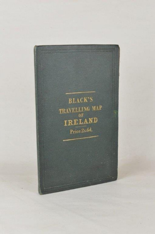
Black’s Travelling Map of Ireland.
IRELAND. BLACK (A. & C.)
Edinburgh: A. & C. Black,
£85.00
Offered by Forest Books
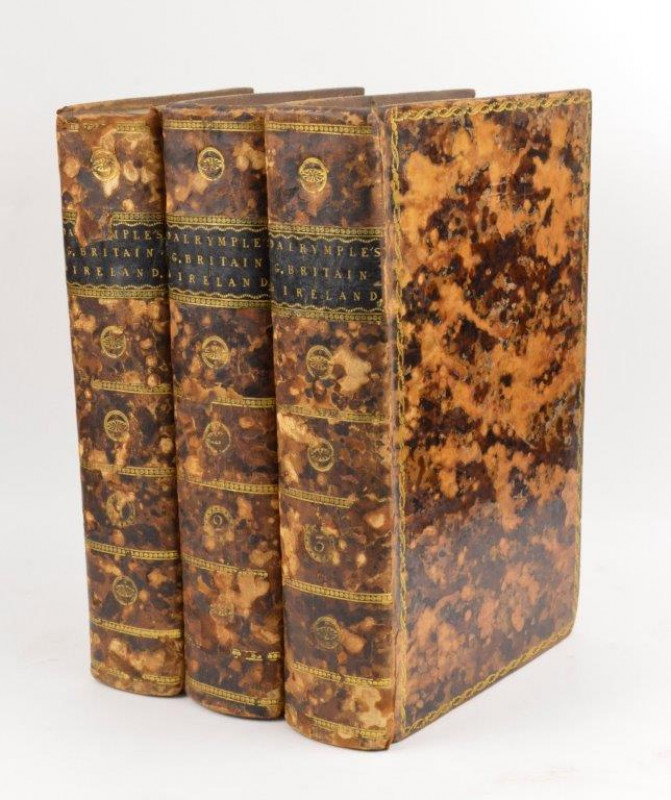
Memoirs of Great Britain and Ireland; from the Dis...
DALRYMPLE (Sir John)
London: Printed for A. Straham, and T. Cadell,
£295.00
Offered by Forest Books
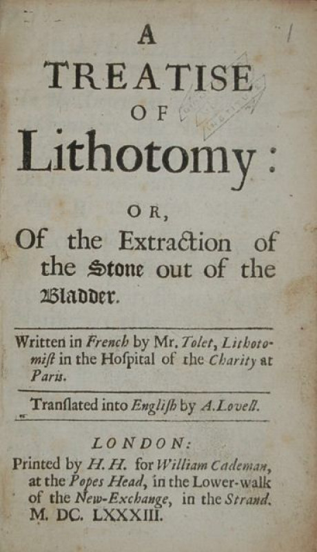
A Treatise of Lithotomy: or, Of the Extraction of...
TOLET (François)
London: Printed by H. H. for William Cademan,
£1495.00
Offered by Forest Books
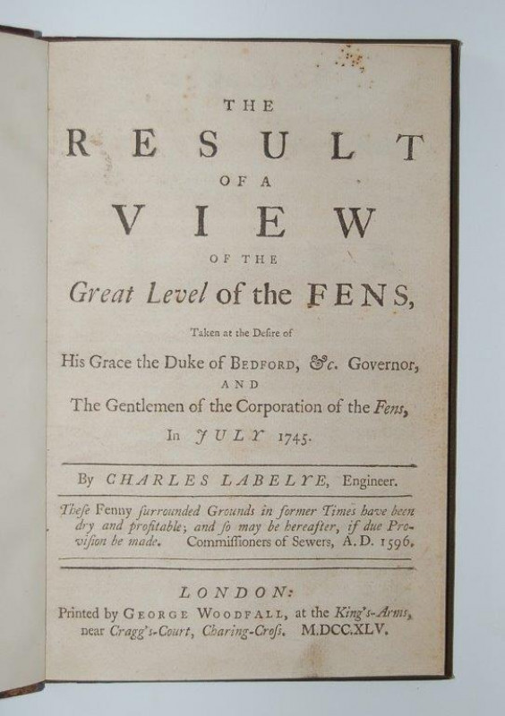
The Result of a Particular View of the North Level...
[LABELYE (Charles)]
London: Printed by C. and J. Ackers,
£395.00
Offered by Forest Books
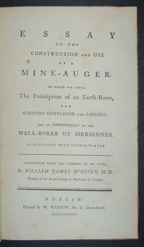
Essay on the Construction and Use of a Mine-auger....
[GEISSAU (Anton Ferdinand von)]
Dublin: Printed by W. Wilson,
£395.00
Offered by Forest Books
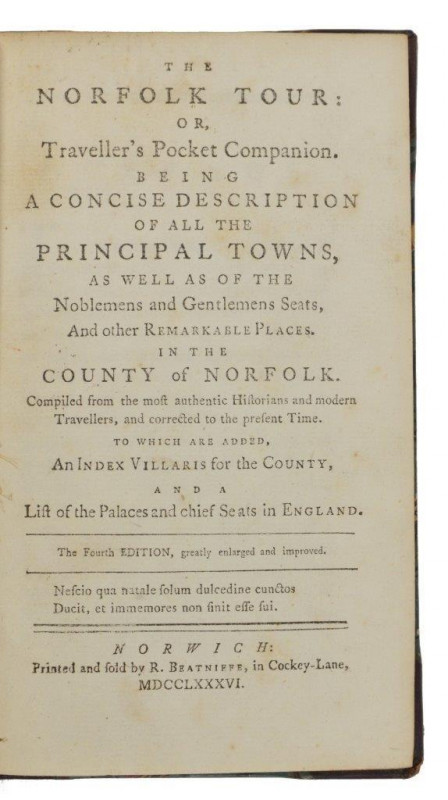
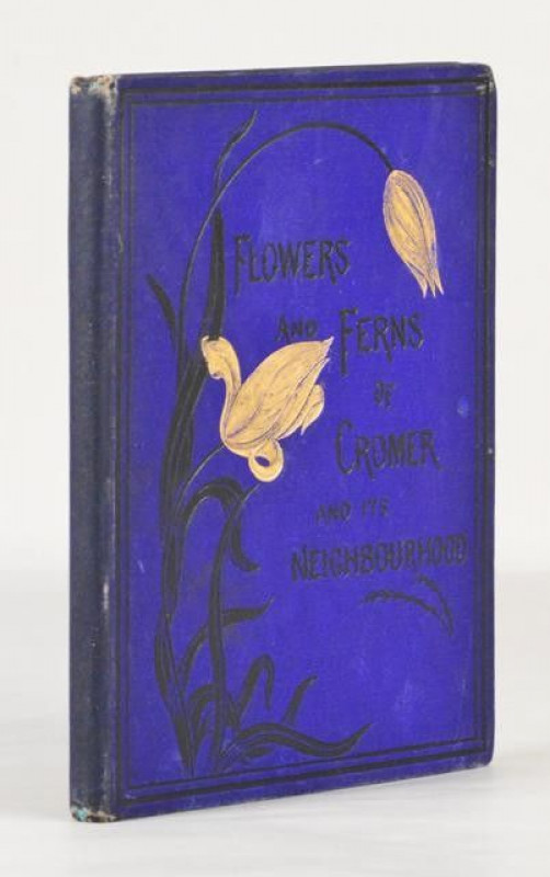
The Norfolk Tour: or, Traveller’s Pocket Companion...
[BEATNIFFE (Richard) Editor.]
Norwich: Printed and sold by R. Beatniffe,
£220.00
Offered by Forest Books

Buried Alive. Introduction by John Wain. Illustrat...
INKY PARROT PRESS. BENNETT (Arnold)
Oxford: Inky Parrot Press,
£375.00
Offered by Forest Books
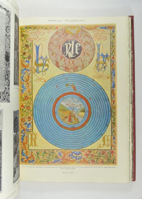
The Holkham Library. Illuminations and Illustratio...
ROXBURGHE CLUB. HASSALL (W. O.) Editor.
Oxford: Printed for Presentation to the Members of the Roxburghe Club,
£425.00
Offered by Forest Books
Friends of the PBFA
Please email info@pbfa.org for more information